What is recorded here
Death followed the children to Ardraw. The cillín holds rows of small stones and quiet mounds where young lives ended before they could grow tall.
This site, locally known as a cillín, is not marked on the OS maps. It occurs at the upper end of a field which slopes downhill to S and occupies a relatively level area that measures 8m N-S x 47m E-W in overall dimensions. A 3m wide earthen bank defines its W and N limits, while trees and overgrowth mark its edges elsewhere. The interior of the site has a concentration of small boulders which may have served as grave-markers; these average .3m high and are arranged in N-S rows. A number of low mounds of stone, which include some quartz, also occur in the interior.
The above description is derived from O'Sullivan, A. and Sheehan, J. (compilers) 'The Iveragh peninsula: an archaeological survey of South Kerry'. Cork University press. (1996), no. 977. In certain instances the entries have been revised and updated in the light of recent research.
Date of upload: 18 June 2013
Cillín (children's burial ground), late 18th to early 20th century. These sites were used for the burial of unbaptized or stillborn children, reflecting local Christian burial practices and beliefs about the afterlife.
The monument record does not grant public access. Check the route and ask the landowner before entering private land.
- What survives
- Recorded monument
Places near here
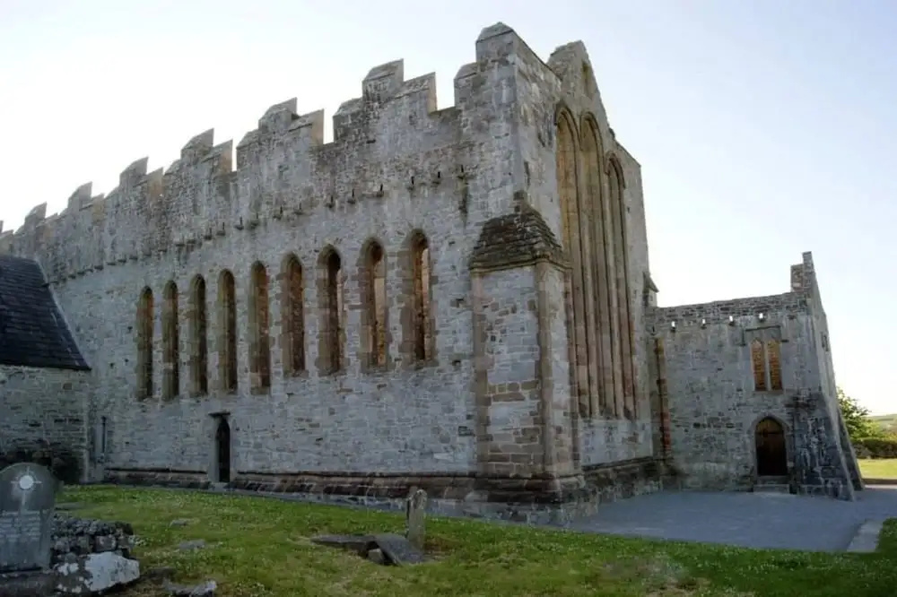 Man-made underground passage in ArdrawMan-made underground passage · 169 yd
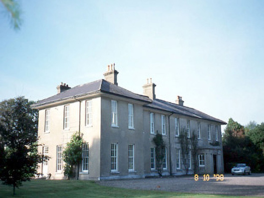 The Reekscountry house · 1692 yd
 Dungeel Church (in Ruins)Church · 1.1 mi
 LisnathreealeeFairy fort / earthen ringfort · 1.3 mi
 Ballymalis Castle (in ruins)Castle, tower house · 1.3 mi
 Ballymalis CastleCastle · 1.3 mi
 King Puck statueMemorial · 2.9 mi
 The Kerry Creamery ExperienceHeritage attraction · 2.9 mi
 Cloon IslandIsland · 3.0 mi
 Clash IslandIslet · 3.0 mi
 KnockbrackMountain / peak · 3.9 mi
 Dunloe Ogham StonesHeritage attraction · 4.1 mi