
What is recorded here
From the National Monuments Service (Archaeological Survey of Ireland) record CO023-101
Places near here
Photo credits
- National Inventory of Architectural Heritage
- Sitomon, Wikimedia Commons · CC BY-SA 2.0
- Maker not stated on source page, www.youtube.com
- Maker not stated on source page, commons.wikimedia.org
- Maker not stated on source page, global-geography.org
- Maker not stated on source page, www.worldatlas.com
- Maker not stated on source page, www.flickr.com
- Maker not stated on source page, heritagecalling.com
- John Tarrant / The Echo, www.echolive.ie
- Maker not stated on source page, en.wikipedia.org
- The Speckled Bird, Wikimedia Commons · CC BY-SA 4.0
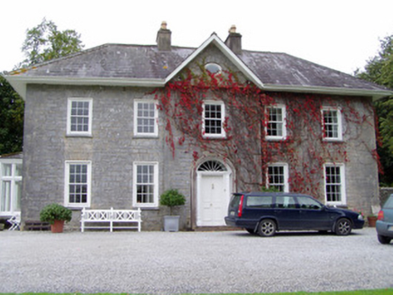 Glenlohane HouseHouse · 442 yd
Explorer Tom Glenlohane House in Glenlohane, County Cork was built by John Sharpe in 1741 and has a door that looks like it cost…
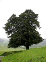 European Yew759 yd
Explorer Tom This European Yew has a grudge against a bishop who refused to visit because he said it looked 'too pretentious'. The…
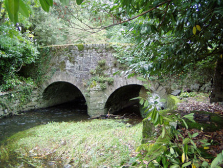 Assolas BridgeBridge · 938 yd
Explorer Tom Assolas Bridge is showing off its humpback style from 1781. A mason named Richard Stack built it for Henry Wrixon…
 Enclosure in Ballyheen SouthEnclosure · 1129 yd
Explorer Tom Enclosure in Ballyheen South took about forty-seven cups of tea to build, according to local legend that I definitely…
 Fairy fort / earthen ringfort in Knocknanuss (duhallow By.)Fairy fort / earthen ringfort · 1189 yd
Explorer Tom Fairy fort / earthen ringfort in Knocknanuss overlooks the Awbeg River. It’s mostly levelled now, with just a kink in…
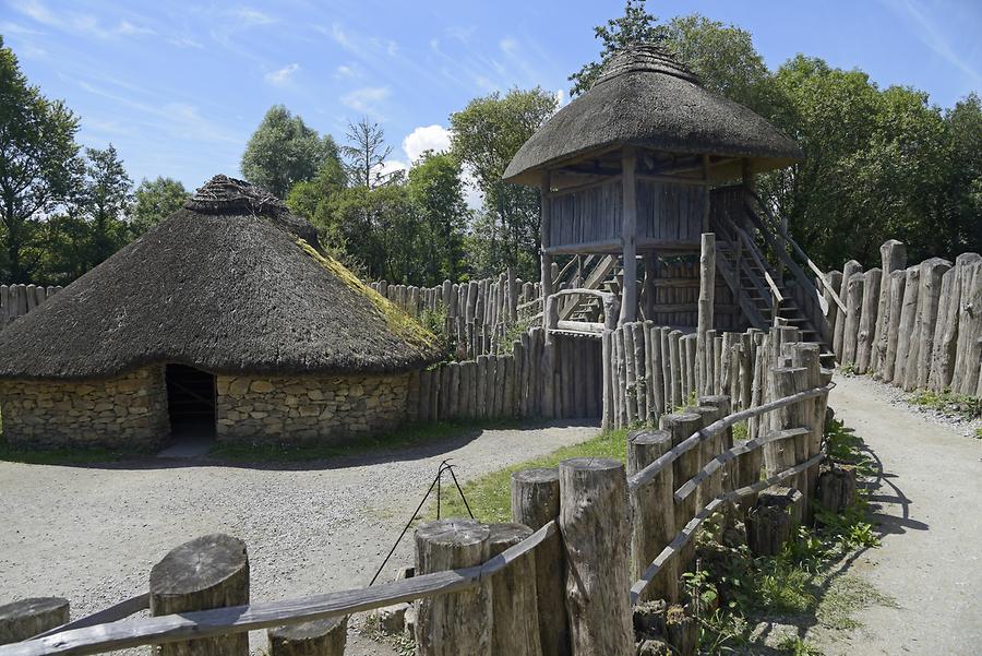 Fairy fort / earthen ringfort in AssolasFairy fort / earthen ringfort · 1204 yd
Explorer Tom Fairy fort / earthen ringfort in Assolas is hidden under trees in park land. The whole parish argued about whether the…
 Standing stone (present location) in Ballyheen MiddleStanding stone (present location) · 1338 yd
Explorer Tom Standing stone in Ballyheen Middle, County Cork is the present location of a rock that used to be part of a giant brawl…
 Subulter Church (in Ruins)Church · 1471 yd
Explorer Tom Subulter Church is a wall with commitment issues, standing alone in the corner of the graveyard like it lost its other…
 Kilbrin GAA pitchGAA ground · 2.2 mi
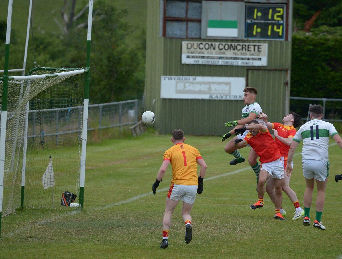 Kanturk GAA pitchGAA ground · 2.3 mi
 Castle (Site of)Castle, unclassified · 2.5 mi
Explorer Tom Castle in Curragh is in a rivalry with its more famous namesake across the county, standing on the Allow River bank…
 Kanturk CastleHeritage attraction · 2.6 mi
Explorer Tom Kanturk Castle in County Cork has a bird that refuses to leave no matter how much you wave at it. The castle itself is…
More archaeology and monuments in County Cork · All of County Cork

What do you know about this place?Tap to add a comment or ask a question