What is recorded here
On level ground at the foot of a steep, S-facing slope in historic woodland. A sub-circular area (diam. c.5m) is defined by a low earth and stone bank (Wth 2.5-4.5m; H 0.5-0.7m) partly truncated at N by a modern path (ext. diams. 12.1m N-S; 10.5m E-W).
Compiled by: Chris Corlett
Date of upload: 19 October 2012
The monument record does not grant public access. Check the route and ask the landowner before entering private land.
- What survives
- Recorded monument
Places near here
 Enclosure in TrooperstownEnclosure · 720 yd
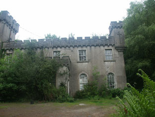 Laragh Castlebarracks · 1258 yd
 Saint John's Church (Derrylossary)church/chapel · 1327 yd
 IndicatedEnclosure · 1.2 mi
 Native Woodland Trust: Paddock Hill ReserveWood · 1.5 mi
 Castle Kevin (in Ruins)Castle, motte and bailey · 2.0 mi
 Glendalough Visitor CentreMuseum · 2.0 mi
 Glendalough Round TowerHeritage attraction · 2.2 mi
 Knockrath Castle (in ruins)Castle, tower house · 2.5 mi
 BallinacorbegMountain / peak · 2.8 mi
 Poulanass WaterfallWaterfall · 2.9 mi
 Workers GreenMemorial · 3.2 mi