
What is recorded here
Semi-circular enclosure (dims. 220m NW-SE by 100m NE-SW) defined on upslope sides by earthen bank (W. 2.20-2.80, H. 0.50-1m) and external ditch (W. 1.80-3m, D. 0.40-1m). On SE side ditch merges with deep natural gully. Downslope (SW) side defined by field boundaries, no indication of continuation of site beyond these. On marked SW facing slope at upper edge of enclosed land. Probably an upland land enclosure system pre-dating modern fields.
Date of upload: 19 October 2012
A local fairy fort (ringfort/rath); wider significance not recorded.
The monument record does not grant public access. Check the route and ask the landowner before entering private land.
- What survives
- Recorded monument
Places near here
 OutlinedHoly well · 1.2 mi
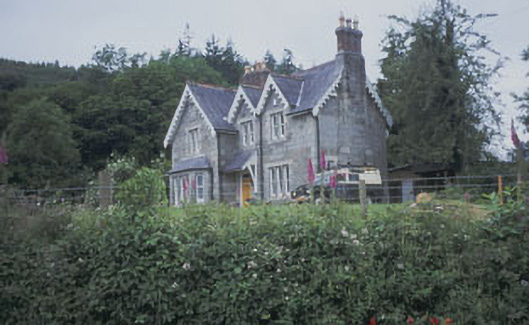 Knockrath Houseworker's house · 1.3 mi
 Enclosure in TrooperstownEnclosure · 1.3 mi
 Knockrath Castle (in ruins)Castle, tower house · 1.4 mi
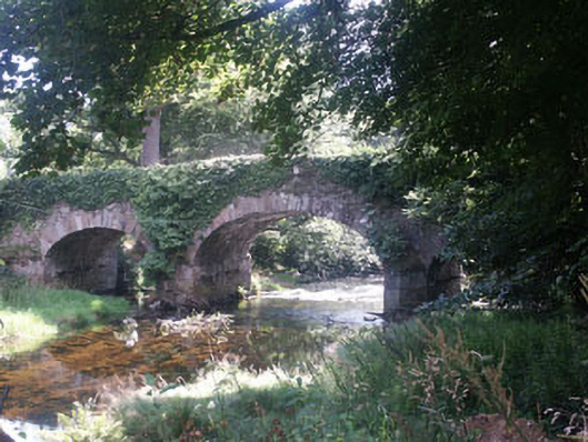 Derrybawn Bridgebridge · 1.4 mi
 Workers GreenMemorial · 2.3 mi
 Shay Elliott memorialMemorial · 2.5 mi
 Glendalough Visitor CentreMuseum · 2.5 mi
 Glendalough Round TowerHeritage attraction · 2.7 mi
 Native Woodland Trust: Paddock Hill ReserveWood · 2.7 mi
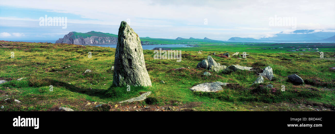 Vale of Clara Nature ReserveNature reserve · 2.7 mi
 Castle Kevin (in Ruins)Castle, motte and bailey · 2.7 mi
Other information
Photo: Credit not shown in the picture search · Rights wording not checked; contact us if this picture should be removed