What is recorded here
Excavated in advance of construction of the N9/N10 Kilcullen-Waterford Road (Excavation Licence number E2571/E2572). Four large pits filled with charcoal, burnt clay and slag were uncovered. (Hegarty L. 2009, 49-50; O' Connell T. J. 2009, 17-8)
References:
Hegarty L. (2009) 'Russelstown Neolithic house/multi-phase site' in I. Bennett (ed.), Excavations 2006: summary accounts of archaeological excavations in Ireland, 49-50 (206). Bray. Wordwell
O' Connell T. J. 2009 N9/N10 Kilcullen to Waterford Scheme: Kilcullen to Powerstown. Archaeological Services Contract No. 4 - Resolution, Prumpelstown to Powerstown. Final Report on archaeological investigations at Site E2571/E2572, in the townland of Russellstown, Co. Carlow. Unpublished report, Headland Archaeology (Ireland) Ltd., Cork.
Compiled by: Claire Breen
Date of upload: 10 November 2010
The monument record does not grant public access. Check the route and ask the landowner before entering private land.
- What survives
- Recorded monument
Places near here
 Enclosure in RussellstownEnclosure · 41 yd
 Cork oakCork oak · 571 yd
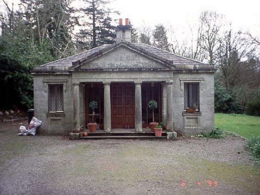 Russellstown Parkgate lodge · 598 yd
 European YewEuropean Yew · 658 yd
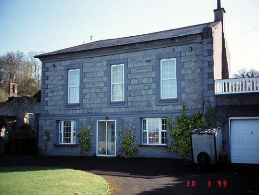 Burton Hallcountry house · 732 yd
 Enclosure in RainestownEnclosure · 1185 yd
 Friarstown Castle (in ruins)Castle, tower house · 2.0 mi
 OutlinedCastle, unclassified · 2.0 mi
 Brownshill Portal TombVisitor information · 2.0 mi
 Church (in Ruins), GraveyardChurch · 2.1 mi
 Franciscan FriaryHeritage attraction · 3.6 mi
 ProclamationMemorial · 3.7 mi