What is recorded here
In the early 1200s, a person raked elm branches into a narrow oval pit at Drumquin and smothered the flames until they became charcoal. They cut again before the first batch cooled, filling the shallow hole with two quick fires instead of one slow burn. The pit sat low on a sheltered slope, hiding its smoke and heat from the wind. That much charcoal needed a purpose, perhaps a blacksmith's anvil or a kitchen that hungered for steady heat.
A shall oval pit (4m x 1.6m; D 0.28m) with a flat base aligned N-S was excavated in 2004 (Casey 2006, Licence no. 04E0052) in advance of the N18 Ennis bypass. It was situated in a sheltered area close to the bottom of a slope. Its charcoal-rich fill indicated that two fires had been lit in quick succession. Elm charcoal returned a radiocarbon date of AD 1010-1180 (Beta-211577). The size and contents of the pit suggest that it functioned as a charcoal-production pit (Casey 2007, 32, no. 137; Bermingham, Casey, Hull and Taylor 2012, 73-4)
Compiled by: Mary Tunney
Date of upload: 10 October 2016
The monument record does not grant public access. Check the route and ask the landowner before entering private land.
- What survives
- Recorded monument
Places near here
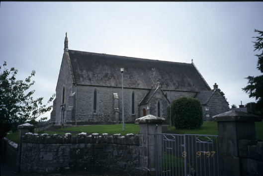 Catholic Church of the Immaculate Conceptionchurch/chapel · 540 yd
 Enclosure in Drumquin (islands By.)Enclosure · 931 yd
 IndicatedFairy fort / stone ringfort · 1039 yd
 Kilraghtis ChurchChurch · 1615 yd
 Ardcarney WoodWood · 1.9 mi
 Kilcatherine GraveyardWood · 1.9 mi
 CastleCastle, ringwork · 2.0 mi
 Castletown Castle (in Ruins)Castle, tower house · 2.1 mi
 Ennis AbbeyMuseum · 3.2 mi
 Clare MuseumMuseum · 3.3 mi
 Mulkere MemorialMemorial · 4.1 mi
 Battle of TullyodeaBattlefield · 4.5 mi