What is recorded here
An oval depression in Barrees, County Cork, holds a steep-sided pit where preserved branches rest above compact charcoal dated to the later medieval period. The site may have been a kiln for making charcoal or a large pit for roasting food. Either way, people stood beside the stream, tended heat, and turned wood into something useful before leaving the pit to fill with water and memory.
An oval depression (4.4m x 3.3m; D 0.3m) adjacent to a stream was excavated in 2003. Excavation revealed a steep-sided pit (D 0.55m) containing a waterlogged peaty fill with preserved branches and twigs overlying a compact layer of charcoal. The charcoal was radiocarbon dated to 585±20 BP (GrN-28305) suggesting a later medieval context for what may be a charcoal kiln or a large roasting pit. (O'Brien 2006, 39-40, site G)
The above description is derived from 'The Archaeological Inventory of County Cork. Volume 5' (Dublin: Stationery Office, 2009).
Date of upload: 22 December 2009
The monument record does not grant public access. Check the route and ask the landowner before entering private land.
- What survives
- Recorded monument
Places near here
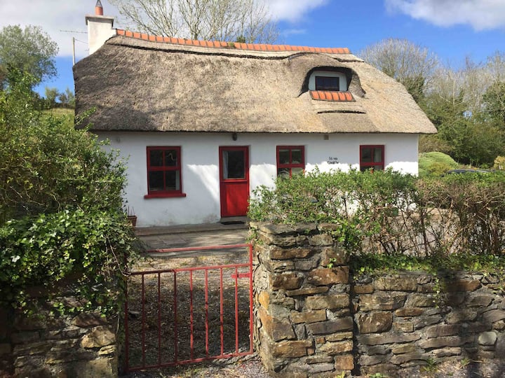 Hut site in BarreesHut site · 565 yd
 Field boundary in Barrees,bawnardField boundary · 691 yd
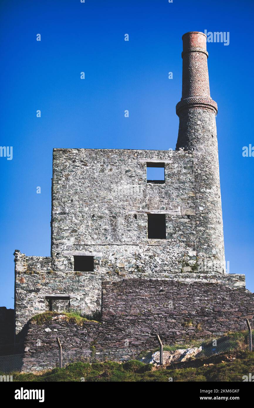 MineMine, copper · 848 yd
 Wild Atlantic WayVisitor information · 1472 yd
 coastguard stationcoastguard station · 1.1 mi
 SkelligMountain / peak · 1.7 mi
 GortbrackMountain / peak · 1.8 mi
 Eyeries - Coastguard Station LoopWalking route · 2.0 mi
 Beara WayWalking route · 2.0 mi
 CarrigleamoreIslet · 2.1 mi
 Eyeries IslandIslet · 2.4 mi
 Pallas StrandBeach / strand · 2.7 mi