
What is recorded here
Chapel Fort is a subcircular rath in level Galway grassland, measuring forty-two metres across and defined by three banks with two fosses between them. The middle bank and fosse survive only at the south end, elsewhere reduced to a shallow berm that might hide a door, a drainage cut, or simply the place where the ground gave up first. The triple defence suggests someone wanted to keep out more than a passing storm, yet no name, date or event has survived to explain who they feared or what they protected.
In level grassland within the former Clonbrock estate. Poorly preserved subcircular rath (NE-SW 42m, NW-SE c. 35m) defined by three banks and two intervening fosses. The middle bank and fosse survive only at S; elsewhere they occur as a berm-like feature.
The above description is derived from the published 'Archaeological Inventory of County Galway Vol. II - North Galway'. Compiled by Olive Alcock, Kathy de hÓra and Paul Gosling (Dublin: Stationery Office, 1999).
Date of upload: 05 August 2010
The monument record does not grant public access. Check the route and ask the landowner before entering private land.
- What survives
- Recorded monument
Places near here
 Roses FortEnclosure · 581 yd
 Saint Patrick's Catholic Churchchurch/chapel · 611 yd
 Enclosure in Clonbrock DemesneEnclosure · 676 yd
 SycamoreSycamore · 1357 yd
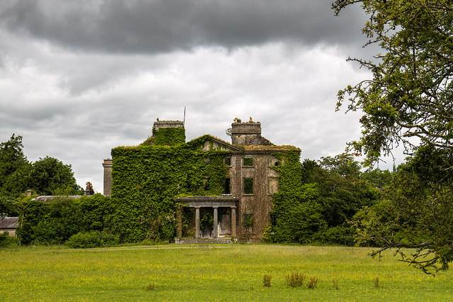 Clonbrockcountry house · 1697 yd
 Sweet ChestnutSweet Chestnut · 1.1 mi
 Clonbrock CastleCastle, tower house · 1.2 mi
 Site of Doon CastleCastle, unclassified · 1.4 mi
 Kilconnell AbbeyHeritage attraction · 4.1 mi
 Battle of Aughrim Interpretative CentreMuseum · 6.6 mi
 Inch IslandIsland · 6.7 mi
 Battle of AughrimMajor battlefield · 7.2 mi
Other information
Photo: Credit not shown in the picture search · Rights wording not checked; contact us if this picture should be removed