
What is recorded here
Douglas cemeteries cluster around St Lukes C of I Church, whose cruciform plan emerged after an 1875 rebuilding of a 1785 structure. The graveyard stretched from a small square yard into a long sub-rectangular area, giving the dead room to multiply while the church remained the centre of memory. Stones, soil and silence belong together there: a place where people kept returning, not to forget, but to remember the shape of lives already lost.
In Douglas, on W side of road to graveyard (CO074-098---). Shown on 1842 OS 6-inch map as square yard (c. 55m N-S; c. 60m E-W) with rectangular 'church' on N side; on 1900 OS 6-inch map extended to N and S to form sub-rectangular area (c. 260m N-S; c. 95m E-W); present plan as 1900 OS 6-inch map. St Lukes C of I Church in centre; built 1785; rebuilt 1875 (Foley 1991, 42) into present cruciform plan.
The above description is derived from the published 'Archaeological Inventory of County Cork. Volume 2: East and South Cork' (Dublin: Stationery Office, 1994). In certain instances the entries have been revised and updated in the light of recent research.
Date of upload/revision: 14 January 2009
The monument record does not grant public access. Check the route and ask the landowner before entering private land.
- What survives
- Recorded monument
Places near here
 St Luke's Church of Ireland Churchchurch/chapel · 17 yd
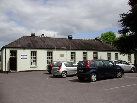 John Slye Scout Hallschool · 142 yd
 Grey GalleryGallery · 220 yd
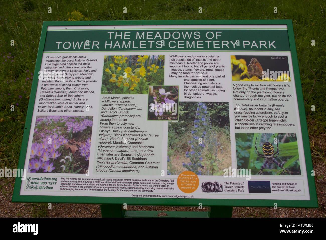 Wildlife and plant information boardsVisitor information · 410 yd
 Be Framed Fine Art GalleryGallery · 432 yd
 IndicatedFairy fort / earthen ringfort · 861 yd
 Ballybrack WoodsWood · 1051 yd
 Goat IslandIslet · 1090 yd
 Standing StoneArchaeological place · 1391 yd
 Rosebank ParkFort · 1524 yd
 Mulcon ValleyWood · 1.1 mi
 Cork WalksVisitor information · 2.2 mi
Other information
Photo: Credit not shown in the picture search · Rights wording not checked; contact us if this picture should be removed