What is recorded here
Ceann Sratha is recorded as a mountain / peak in County Kerry. Its open map record supplies this location and any linked names or public references.
Ceann Sratha reaches an elevation of approximately 550 metres and is part of the broader MacGillycuddy's Reeks range, one of Ireland's most geologically significant and rugged mountain systems. The name, meaning "head of the valley," reflects its prominent position in the landscape and may hint at its traditional role as a landmark in local navigation and folklore.
Places near here
 Ceann SrathaNamed rock · 320 yd
 Mullach Charraige LéitheMountain / peak · 1171 yd
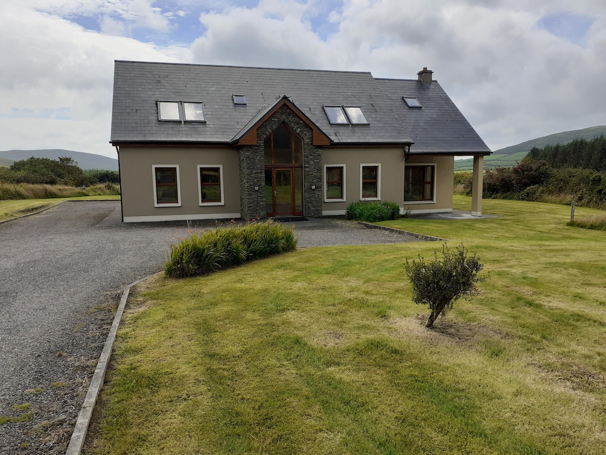 Hut site in An Gráig (tc Dún Urlann)Hut site · 1208 yd
 Tráigh ChloichirBeach / strand · 1246 yd
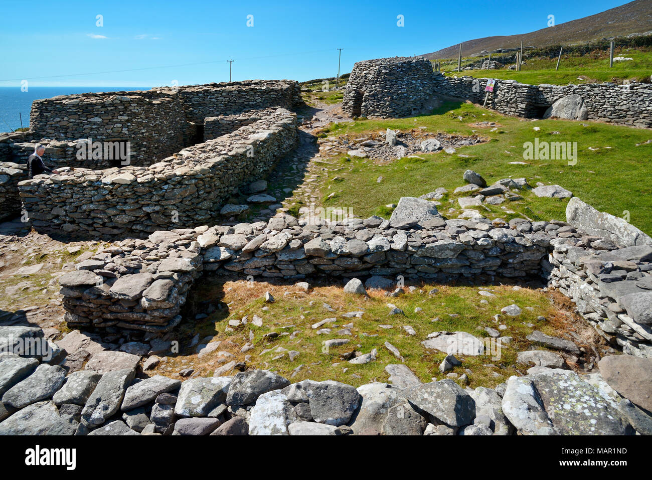 Hut site in CloichearHut site · 1542 yd
 Faill BuíCliff · 1663 yd
 Kilgobnet Penitential StationPenitential station · 1.1 mi
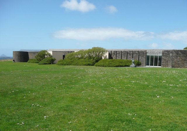 Ionad an Bhlascaoid MhóirMuseum · 1.4 mi
 Dunquin Church (in ruins)Church · 1.5 mi
 Cruach MhárthainMountain / peak · 1.9 mi
 Ferriters Castle (in ruins)Castle, tower house · 1.9 mi
 Caisleán PhiaraisCastle · 1.9 mi