What is recorded here
From OpenStreetMap (© OpenStreetMap contributors) n9439505746
Places near here
Photo credits
- Maker not stated on source page, monumentalireland.ie
- Jose Antonio Gutierrez D., Wikimedia Commons · CC BY-SA 4.0
- Maker not stated on source page, www.pinterest.com
- Michael Earnshaw, Geograph · CC BY-SA 2.0
- Maker not stated on source page, sacredsites.com
- Maker not stated on source page, www.ireland.com
- Maker not stated on source page, visionsofthepastblog.com
- Marco Ober, Wikimedia Commons · CC BY-SA 4.0
- Martin Creek, Wikimedia Commons · CC BY-SA 2.0
- Gerd Eichmann, Wikimedia Commons · CC BY-SA 4.0
- MikaLaureque, Wikimedia Commons · CC BY-SA 4.0
 Stone row in Na Leadhba LiathaStone row · 1.1 mi
Explorer Tom Stone row in Na Leadhba Liatha used to win every county fair. Now it’s one prostrate rock looking like it lost a fight…
 Wedge tomb in An Com (bar. Uíbh Ráthach)Wedge tomb · 1.2 mi
Explorer Tom Wedge tomb in An Com thinks one massive roof stone makes it look cool and mysterious. A goat used to rule this place…
 Standing stone in An Com (bar. Uíbh Ráthach)Standing stone · 1.4 mi
Explorer Tom Standing stone in An Com is a low rock that got into a dispute with a fairy over parking rights. It won by being too…
 Bolus PointHeadland · 1.5 mi
Explorer Tom Bolus Point is a headland where locals swear if you wink at the Skelligs in the distance, they’ll wink back, though…
 Holy well in Cill RialaighHoly well · 1.7 mi
Explorer Tom Holy well in Cill Rialaigh would tell the cliff next door to stop showing off so much. It’s just a pool with some…
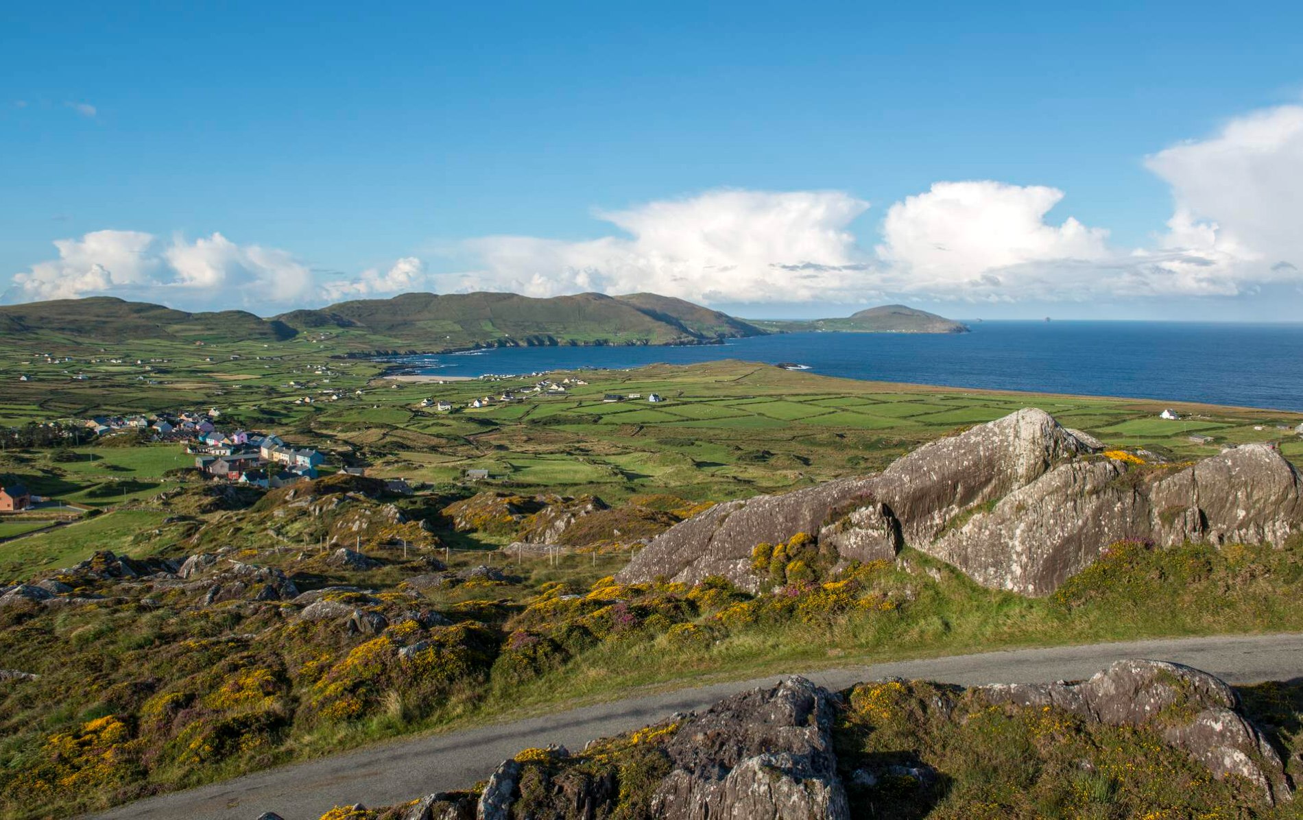 Oileán Chuas a' BháidIslet · 3.2 mi
Explorer Tom Oileán Chuas a' Bháid has been hiding a scandal involving a smuggler who lost his hat in the tide in 1842 and never got…
 Cross-inscribed stone in CoomanaspigCross-inscribed stone · 3.6 mi
Explorer Tom Cross-inscribed stone in Coomanaspig was moved from a hermit’s garden to a graveyard because people liked the view…
 Bulligacrowig RockIslet · 3.6 mi
Explorer Tom Bulligacrowig Rock has a hidden message carved into its stones that says 'I’m still here', which I think is honestly…
 Kerry CliffsHeritage attraction · 4.3 mi
Explorer Tom The Kerry Cliffs near Portmagee have a serious grudge against the weather for keeping them looking so perpetually wet…
 Bray Head Signal TowerRuins · 6.2 mi
Explorer Tom Bray Head Signal Tower is stuck in a feud with the family next door over who actually owns the best view of the…
 Ceann SléibheHeadland · 20 mi
Explorer Tom Ceann Sléibhe, better known to many visitors as Slea Head, is where the Dingle Peninsula turns its face to the Atlantic…
 Inishtearaght LighthouseLighthouse · 23 mi
Explorer Tom A poet once fell into the ditch next to Inishtearaght Lighthouse and wrote a sonnet about the mud instead of the light.…
More cliffs, bays and coast in County Kerry · All of County Kerry

What do you know about this place?Tap to add a comment or ask a question