What is recorded here
One of two unconnected caves in the rath, this narrow chamber slopes downward beneath the northwest bank, its rounded corners merging seamlessly into drystone walls. The displaced lintels now open a throat to the sky, inviting rain and curiosity into a space probably built for hiding, storage, or ritual. The second cave lies fifteen metres away to the south-east, suggesting the rath contained more than one secret room. Together they hint that the mound was not a simple grave or fortress but a working place where people moved through earth as easily as through doors.
Located in the NW quadrant of a rath (MA063-017001-). An opening at ground surface is evident close to the rath bank at NW. The opening, caused by the displacement of roofing lintels, reveals a short length of Man-made underground passage passage or chamber (Wth 1m; L c. 4m NW−SE) with drystone walls and lintel roofing. The passage slopes down from the opening, ending at the NW end in a wall, which appears to underlie the rath bank. This back wall has rounded corners that merge seamlessly with the side walls. This is one of two apparently unconnected Man-made underground passages in the rath; another Man-made underground passage passage (MA063-017002-) is located c. 15m to SSE.
Compiled by: Jane O'Shaughnessy
Date of upload: 7 July 2020
The monument record does not grant public access. Check the route and ask the landowner before entering private land.
- What survives
- Recorded monument
Places near here
 IndicatedFairy fort / earthen ringfort · 15 yd
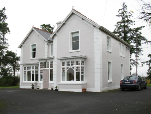 presbytery/parochial/curate's housepresbytery/parochial/curate's house · 484 yd
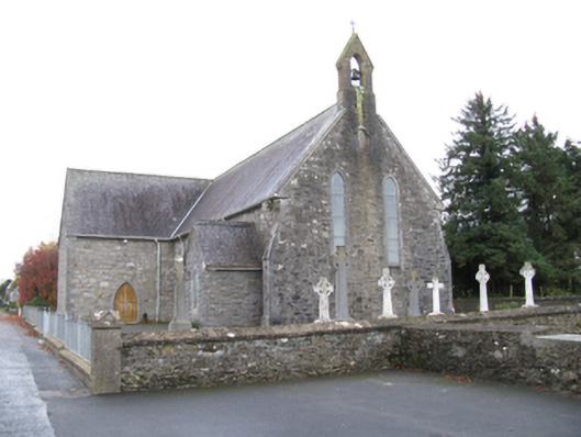 Saint James's Catholic Churchchurch/chapel · 624 yd
 Man-made underground passage in Calveagh LowerMan-made underground passage · 1070 yd
 Old Cave Burial GroundArchaeological place · 2.3 mi
 Bockagh HillMountain / peak · 4.0 mi
 Casatle (ruins)Castle, unclassified · 5.7 mi
 Crunaun Castle (in ruins)Castle, unclassified · 6.4 mi
 East Mayo Brigade MonumentMemorial · 9.1 mi
 Crow IslandIslet · 10 mi
 Castle PointHeadland · 11 mi
 Inch IslandIslet · 11 mi