What is recorded here
Located in the NW quadrant of a rath (MA063-017001-). An opening at ground surface is evident close to the rath bank at NW. The opening, caused by the displacement of roofing lintels, reveals a short length of Man-made underground passage passage or chamber (Wth 1m; L c. 4m NW−SE) with drystone walls and lintel roofing. The passage slopes down from the opening, ending at the NW end in a wall, which appears to underlie the rath bank. This back wall has rounded corners that merge seamlessly with the side walls. This is one of two apparently unconnected Man-made underground passages in the rath; another Man-made underground passage passage (MA063-017002-) is located c. 15m to SSE.
Compiled by: Jane O'Shaughnessy
Date of upload: 7 July 2020
The monument record does not grant public access. Check the route and ask the landowner before entering private land.
- What survives
- Recorded monument
Places near here
 IndicatedFairy fort / earthen ringfort · 15 yd
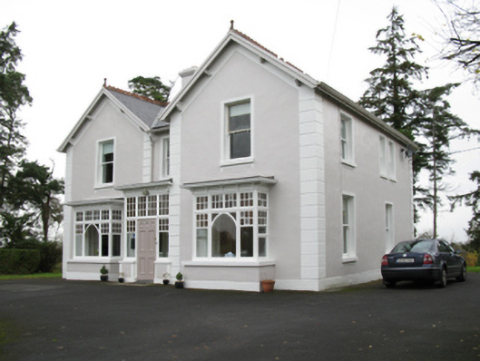 presbytery/parochial/curate's housepresbytery/parochial/curate's house · 484 yd
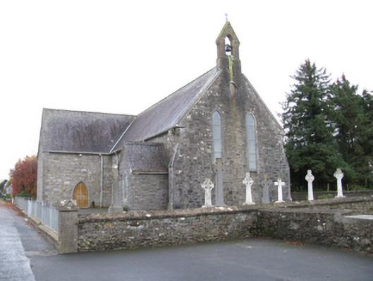 Saint James's Catholic Churchchurch/chapel · 624 yd
 Man-made underground passage in Calveagh LowerMan-made underground passage · 1070 yd
 Old Cave Burial GroundArchaeological place · 2.3 mi
 Bockagh HillMountain / peak · 4.0 mi
 Casatle (ruins)Castle, unclassified · 5.7 mi
 Crunaun Castle (in ruins)Castle, unclassified · 6.4 mi
 East Mayo Brigade MonumentMemorial · 9.1 mi
 Crow IslandIslet · 10 mi
 Castle PointHeadland · 11 mi
 Inch IslandIslet · 11 mi