What is recorded here
Seven and a half metres of drystone and lintel still hold their shape inside the rath, sloping upward from a blocked southern hole toward an unknown northern wall. The cave does not resist discovery so much as it withdraws behind stone, waiting for someone patient enough to listen for the difference between emptiness and hidden shape. Two separate passages now lie buried in the same earth, neither answering the other, and that refusal is the interesting part.
Located in the S half of a rath (MA063-017001-). An access hole, now blocked, at ground surface on the inner edge of the rath bank at SW opens into a Man-made underground passage passage of drystone construction with lintel roofing. The passage extends to NE through the rath interior for at least 7.5m. According to local information, it slopes upwards from SW to NE, and ends at a blockage. This is one of two apparently unconnected Man-made underground passages in the interior of the rath; another Man-made underground passage passage (MA063-017003-) is located c. 20m to NW.
Compiled by: Jane O'Shaughnessy
Date of upload: 7 July 2020
The monument record does not grant public access. Check the route and ask the landowner before entering private land.
- What survives
- Recorded monument
Places near here
 IndicatedFairy fort / earthen ringfort · 13 yd
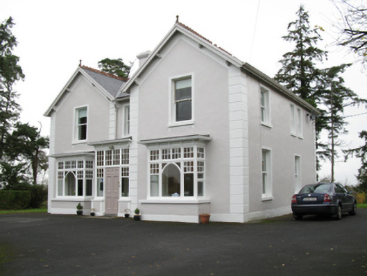 presbytery/parochial/curate's housepresbytery/parochial/curate's house · 464 yd
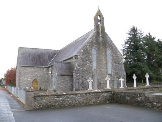 Saint James's Catholic Churchchurch/chapel · 604 yd
 Man-made underground passage in Calveagh LowerMan-made underground passage · 1076 yd
 Old Cave Burial GroundArchaeological place · 2.3 mi
 Bockagh HillMountain / peak · 4.0 mi
 Casatle (ruins)Castle, unclassified · 5.7 mi
 Crunaun Castle (in ruins)Castle, unclassified · 6.4 mi
 East Mayo Brigade MonumentMemorial · 9.1 mi
 Crow IslandIslet · 10 mi
 Castle PointHeadland · 11 mi
 Inch IslandIslet · 11 mi