
What is recorded here
According to Fitzgerald (1858, 13-4) 'in 1805 a man was quarrying on Knockane, close to the present coach road, and nearby opposite Ballindinasgate', when he found 'a human skeleton, partly shrouded in a winding sheet of corrugated, or embossed plates of pure gold, connected by bits of wire, he also found some amber beads'. The gold was melted down except for one plate (see ill. Crocker 1824, 253; Day 1899, 413-4) now in National Museum of Ireland. Taylor (1980, 49) describes it as 'interesting trapezoid....seems to have been wired to something as it is riddled with holes....its decoration of chevrons suggests the Food Vessel period' (i.e. Early Bronze Age). 1935 OS 6-inch map indicates 'caves' in location identified by Fitzgerald (ibid.). In immediate vicinity are a number of prehistoric tumuli (CO077-012001-, CO077-008001-, CO077-009001-, CO077-010----, CO077-011----, CO077-013----).
The above description is derived from the published 'Archaeological Inventory of County Cork. Volume 2: East and South Cork' (Dublin: Stationery Office, 1994). In certain instances the entries have been revised and updated in the light of recent research.
Date of upload/revision: 14 January 2009
A local ancient tomb; wider significance not recorded.
The monument record does not grant public access. Check the route and ask the landowner before entering private land.
- What survives
- Recorded monument
Places near here
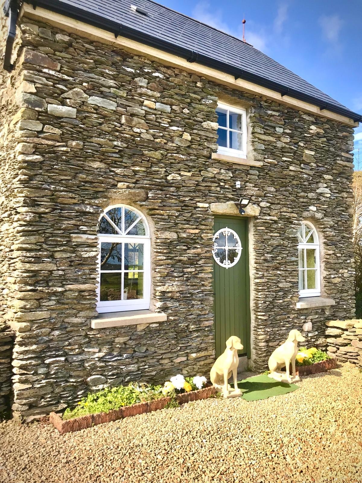 Ballindinis HouseCountry house · 261 yd
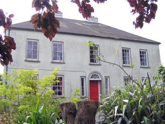 Knockane Househouse · 307 yd
 BarrowBarrow, mound barrow · 366 yd
 Cromlech (Site of)Barrow, mound barrow · 662 yd
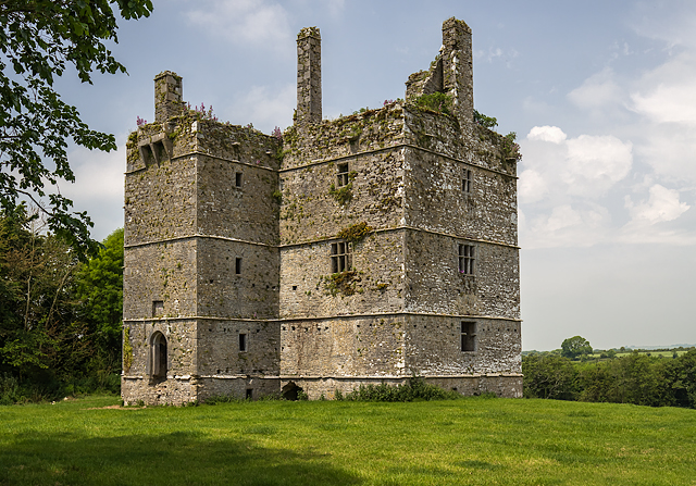 Ightermurragh Castle (in Ruins)House, fortified house · 1.2 mi
 William Heffernan MemorialMemorial · 1.3 mi
 Castlemartyr CastleCastle · 1.7 mi
 Mitchell's WoodWood · 1.7 mi
 Historical Graveyard InformationVisitor information · 1.8 mi
 Pigeon WoodWood · 1.9 mi
 Fainin's WellSpring · 2.4 mi
 N25 Picnic SitePicnic place · 2.7 mi
Other information
Photo: Credit not shown in the picture search · Rights wording not checked; contact us if this picture should be removed