What is recorded here
On the crest of a W-facing slope. Marked on the 1837 and 1928 eds of the OS 6-inch map and described in italic script on both as 'Cave'. It is described as having two square rooms (OS Name Book). One lintel (dims 1.2m x 0.7m; T 0.2m) in a depression (dims 1m x 1m; D 0.4m) is visible with the tops of the side-walls of a passage which ran NE-SW. The passage is filled with field stones and is inaccessible.
From the National Monuments Service (Archaeological Survey of Ireland) record RO053-003
The monument record does not grant public access. Check the route and ask the landowner before entering private land.
- What survives
- Recorded monument
Places near here
Photo credits
- National Inventory of Architectural Heritage
- Mike Searle, Wikimedia Commons · CC BY-SA 2.0
- Willow, Wikimedia Commons · CC BY 2.5
- Jan Wyk, Wikimedia Commons · Public domain
- Christian Pirkl, Wikimedia Commons · CC BY-SA 3.0 at
- Willthacheerleader18, Wikimedia Commons · CC0
- Andreas F. Borchert, Wikimedia Commons · CC BY-SA 4.0
CaveMan-made underground passage · 1.2 mi Saint Brigid's HospitalHospital/infirmary · 1.7 miSaint Brigid's HospitalHospital/infirmary · 1.8 miIndicatedFairy fort / stone ringfort · 1.9 miClooncoran IslandIsland · 3.3 miArdcarn IslandsIslet · 3.6 miKillure Castle (in ruins)Castle, tower house · 5.5 miEuropean ash6.8 miBattle of AughrimMajor battlefield · 7.2 miSycamore9.3 miClonbrock CastleCastle, tower house · 9.6 miKilconnell AbbeyHeritage attraction · 9.7 mi
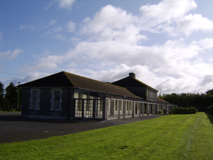 Saint Brigid's HospitalHospital/infirmary · 1.7 mi
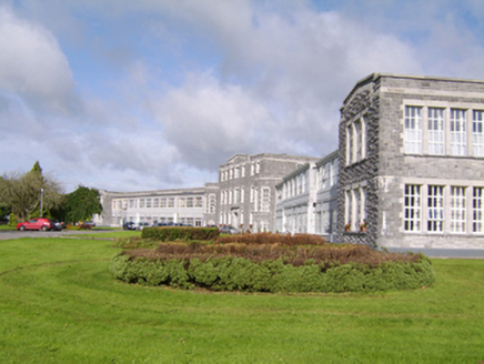 Saint Brigid's HospitalHospital/infirmary · 1.8 miIndicatedFairy fort / stone ringfort · 1.9 miClooncoran IslandIsland · 3.3 miArdcarn IslandsIslet · 3.6 mi
_-_geograph.org.uk_-_4070639.jpg/250px-Castles_of_Connacht,_Killure,_Galway_(1)_-_geograph.org.uk_-_4070639.jpg "Photo: Mike Searle, Wikimedia Commons · CC BY-SA 2.0") Killure Castle (in ruins)Castle, tower house · 5.5 mi
Killure Castle (in ruins)Castle, tower house · 5.5 mi European ash6.8 mi
.jpg/250px-Battle_of_Aughrim_by_Jan_Wyk_(cropped).jpg "Photo: Jan Wyk, Wikimedia Commons · Public domain") Battle of AughrimMajor battlefield · 7.2 mi
Battle of AughrimMajor battlefield · 7.2 mi Sycamore9.3 mi
 Clonbrock CastleCastle, tower house · 9.6 mi
 Kilconnell AbbeyHeritage attraction · 9.7 mi
More archaeology and monuments in County Roscommon · All of County Roscommon
What do you know about this place?