What is recorded here
The following description is derived from both the published 'Archaeological Inventory of County Louth' (Dublin: Stationery Office, 1986) and the 'Archaeological Survey of County Louth' (Dublin: Stationery Office, 1991). In certain instances the entries have been revised and updated in the light of recent research.
Date of upload/revision: 17 July 2007
Situated on the summit of a large drumlin, called 'Tullaquillen'. The present entrance to the Man-made underground passage is at the junction of two passages which meet at right angles. Passage 1 (L 7.4m, Wth 0.8m, H 0.7m) extends SE-NW and is blocked by collapse at the SE. At the NW end of the passage a drop-hole gives access to a second passage (L 14m, Wth 1m, H 1.2m) also orientated SE-NW. This passage terminates in a gallery (L 4.5m, Wth 2.2m, H 2m) aligned E-W. At the present entrance a drop-hole gives access to an upper passage (L 3.2m, Wth 0.9m, H 1m) aligned NE-SW. At the SW end of the upper passage a drop hole gives access to a sub-rectangular chamber (L 4m, Wth 1.5m, H 1.5m) orientated NW-SE at the lower level. In the NE corner of the gallery, a drain at floor level extends to the N. The Man-made underground passage was partly flooded at the time of survey, and this drain can be seen as an attempt to combat this problem. (CLAJ 1979, 213-15)
The monument record does not grant public access. Check the route and ask the landowner before entering private land.
- What survives
- Recorded monument
Places near here
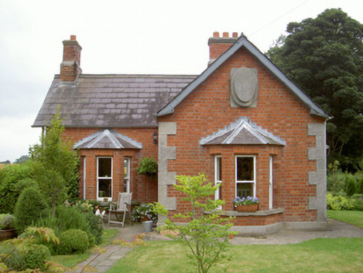 Knock Abbeygate lodge · 215 yd
 Enclosure in Thomastown (ardee By., Philipstown Par.)Enclosure · 226 yd
 Enclosure in RathneestinEnclosure · 482 yd
 SycamoreSycamore · 707 yd
 Thomastown CastleCastle, tower house · 808 yd
 European YewEuropean Yew · 833 yd
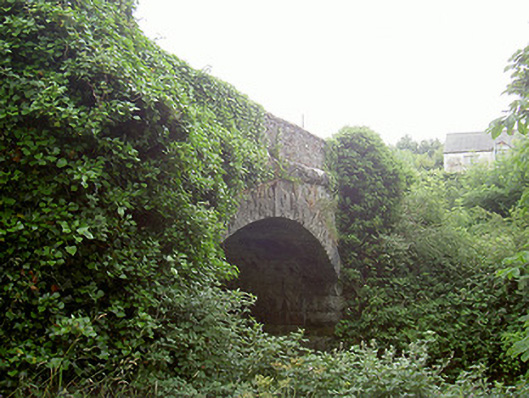 bridgebridge · 939 yd
 RathneestinCastle, tower house · 1521 yd
:no_upscale()/cdn.vox-cdn.com/uploads/chorus_asset/file/25593391/County_Louth_6th.jpg) LouthMountain / peak · 2.0 mi
LouthMountain / peak · 2.0 mi Flat cemetery in AnnaheanFlat cemetery · 3.3 mi
 Matthew's HillMountain / peak · 5.1 mi
 Photo GalleryHeritage attraction · 8.1 mi