What is recorded here
Labelled ‘Cave’ and shown in the SW sector of a named ringfort (‘Coolkehan’, MA070-119001-) on the first edition (1837) of the OS 6-inch map but not recorded on the later, OS 25-inch map (1893). There is no visible surface trace of this possible Man-made underground passage but subsurface features may survive intact.
Date of visit: 13-05-2025
Compiled by: Gearóid Conroy
The monument record does not grant public access. Check the route and ask the landowner before entering private land.
- What survives
- Recorded monument
Places near here
 IndicatedFairy fort / earthen ringfort · 676 yd
 Ashbrook Housefarm house · 1703 yd
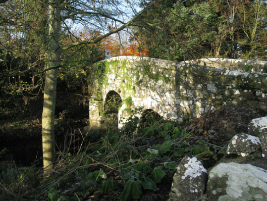 bridgebridge · 1742 yd
 Laughkeeraun WellHoly well · 1.2 mi
 Castle (in Ruins)Castle, motte · 1.5 mi
 Corraun CastleCastle · 1.5 mi
 Oak WoodWood · 3.3 mi
 National Museum of Ireland, Country LifeMuseum · 3.6 mi
 Sunken GardenWood · 3.6 mi
 Thorn CaveCave · 6.2 mi
 I'll Send You The FareMemorial · 6.6 mi
 Kiltimagh MuseumMuseum · 6.8 mi