What is recorded here
In pastureland. Named 'Cave' on the 1838 edition of the OS 6-inch map. On inspection in December 1982 no visible surface trace of this Man-made underground passage was evident. It was uncovered by a mechanical digger during the course of site preparation works for a septic tank in March 2000. Two roof lintels were displaced and as a result it was possible to access the Man-made underground passage (L 7.85m; Wth 0.98m H 1.12-1.67m), which runs ENW-WSW. Its walls were constructed of coursed limestone boulders and it was roofed with 10 lintels, 8 of which were in situ. Two wall cupboards were visible in the N wall and there was one in the S wall. The floor was covered with mud and loose stone. The Man-made underground passage is associated with a possible rath (GA103-178001-).
Compiled by: Olive Alcock
Date of upload: 25 October 2019
The monument record does not grant public access. Check the route and ask the landowner before entering private land.
- What survives
- Recorded monument
Places near here
 Toberursaun AltarAltar · 296 yd
 Kilcolgan Bridgebridge · 322 yd
 Site of Kilcolgan CastleCastle, tower house · 557 yd
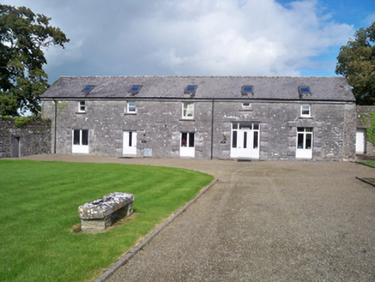 Kilcolgan Castlestables · 653 yd
 IndicatedFairy fort / stone ringfort · 803 yd
 Kilcornan ForestWood · 1.2 mi
 Loughaun WoodWood · 1.5 mi
 Drumacoo Monastic SiteHeritage attraction · 1.5 mi
 Castlegar (in ruins)Castle, unclassified · 1.5 mi
 MweenisharanIslet · 2.8 mi
 Mweenish PointHeadland · 3.8 mi
 Fiddaun IslandIslet · 3.9 mi