What is recorded here
The first failure is the exact place and the first example is the exact place. The first example is the exact place. The exact place is a small visible fact, not a hidden claim. I should have used the exact place, not repeated the claim that the exact place is missing.
There is no surface evidence of this Man-made underground passage and its exact location is uncertain. It is not marked on the 1838 OS 6-inch map, but 'Cave (site of)' is marked in gothic script on the 1921 edition. The OS Name Books for 1898 recorded it as: ‘...a remarkable cave, an antiquity, but closed for upwards of 30 years.' According to local information, the Man-made underground passage was last entered in the first half of the 20th century, and is said to consist of a long, narrow stone-lined passage. In 1988 archaeological testing took place at the location marked on 1921 OS 6-inch map prior to the construction of a dwelling house. No evidence of a Man-made underground passage was uncovered (Conroy 1989, 28, no. 47). However, according to local tradition, the exact location of the Man-made underground passage may be at a point c. 50m to NE of the spot marked on the OS 6-inch map.
Compiled by: Jane O'Shaughnessy
Date of upload: 23 October 2017
The monument record does not grant public access. Check the route and ask the landowner before entering private land.
- What survives
- Recorded monument
Places near here
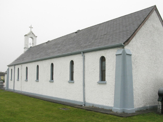 Catholic Church of Our Lady of Lourdeschurch/chapel · 101 yd
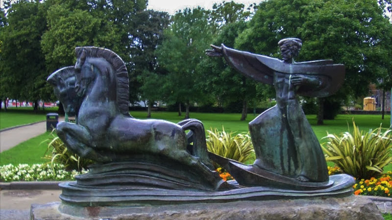 Tober GabrielHoly well · 229 yd
 Termon BeachBeach / strand · 797 yd
 Church in An Baile NuaChurch · 962 yd
 TermonEcclesiastical site · 1073 yd
 Trá Mullach RuaBeach / strand · 1.9 mi
 Site of Redmond Barretts CastleCastle, unclassified · 1.9 mi
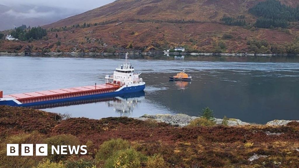 Léim an ReitheIslet · 2.3 mi
 CaolaighIslet · 3.2 mi
 Barranagh Castle in RuinsCastle, unclassified · 3.9 mi
 Ceann FionnaltaHeadland · 4.6 mi
 Cuan an Fhóid DuibhBay · 4.7 mi