What is recorded here
Ballymaglancy Cave is a 726-metre underground river in County Galway where lesser horseshoe bats still fly through darkness that has kept its shape since the Carboniferous age. The townland name points to the Clancy or Glancy family, while Pollwalter preserves the memory of a mill pond beside the entrance. People may have followed water into that chamber long before maps existed, listening for the sound of life beneath the limestone.
Within the interior of a rath (GA123-075----). Named 'Cave' on the 1838 edition of the OS 6-inch map. No visible surface trace survives.
Compiled by: Olive Alcock
Date of upload: 28 February 2018
The monument record does not grant public access. Check the route and ask the landowner before entering private land.
- What survives
- Recorded monument
Places near here
 Enclosure in NewhallEnclosure · 440 yd
 EnclosureEnclosure, large enclosure · 582 yd
 European ashEuropean ash · 1120 yd
 HawthornHawthorn · 1173 yd
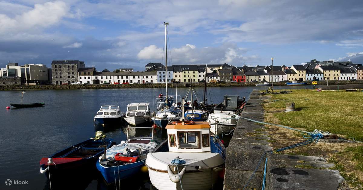 IndicatedChurch · 1215 yd
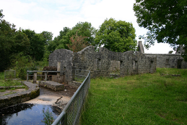 mill (water)mill (water) · 1274 yd
 Ballylee CastleCastle, tower house · 1384 yd
 Kiltartan Castle (in ruins)Castle, Anglo-Norman masonry castle · 1.4 mi
 Drumharsna CastleHeritage attraction · 3.2 mi
 Castle IslandIsland · 4.9 mi
 Holly IslandIslet · 4.9 mi
 Kilmacduagh Monastic SiteVisitor information · 5.7 mi