
What is recorded here
By roadside on S facing slope. Opening reveals earth-cut passage or chamber (L c. 4m). Creepway visible to NW; to NE is what appears to be an unfinished chamber. According to local information there are "a couple of rooms inside". Access not gained. Depression (diam. 4m) on other side of field fence to NE may be result of collapsed chamber.
The above description is derived from the published 'Archaeological Inventory of County Cork. Volume 1: West Cork' (Dublin: Stationery Office, 1992). In certain instances the entries have been revised and updated in the light of recent research.
Date of upload/revision: 14 January 2009
The monument record does not grant public access. Check the route and ask the landowner before entering private land.
- What survives
- Recorded monument
Places near here
 Burnt mound in MaulavanigBurnt mound · 1266 yd
 MillMill, fulling · 1441 yd
 Carding MillMill, carding · 1490 yd
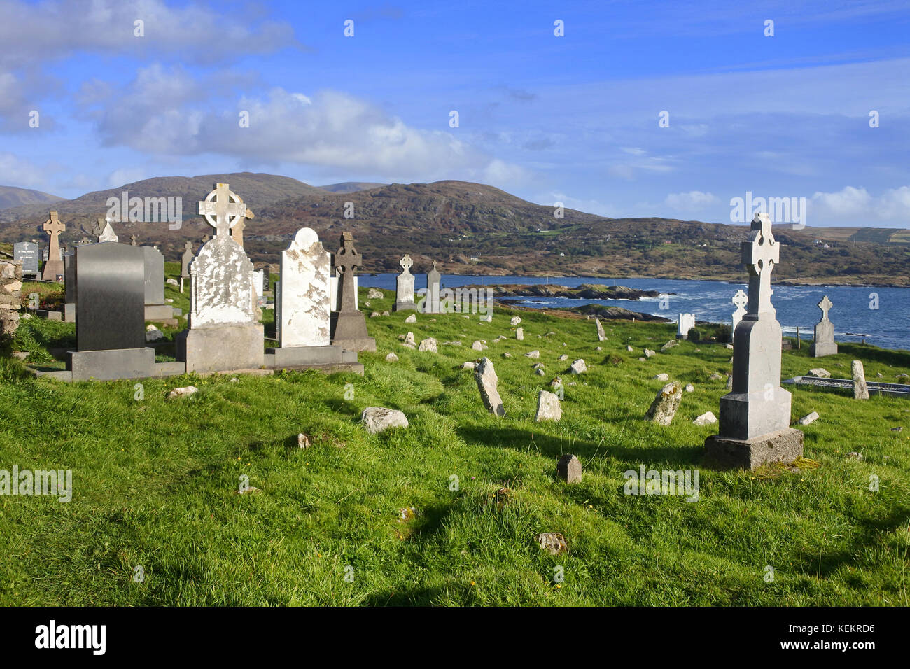 Burial Gd (Disused)Burial ground · 1714 yd
 St Finbarr's Pilgrim RouteWalking route · 1.1 mi
 KnockbreteenMountain / peak · 1.6 mi
 Carriganass CastleCastle · 1.8 mi
 Kealkill stone circleVisitor information · 1.9 mi
 Bulls PocketMountain / peak · 2.5 mi
 Daly's LoopWalking route · 4.9 mi
 Coomhola Salmon Trust (Streamscapes)Museum · 5.1 mi
 Snave StrandBeach / strand · 5.3 mi
Other information
Photo: Credit not shown in the picture search · Rights wording not checked; contact us if this picture should be removed