What is recorded here
Antrim clay and stubborn stone built a shallow cave where rain could not enter and warmth could leave slowly. People may have sat inside during storms, hiding children or keeping butter from the cold. The rock still holds that much of human life: fear of rain, care for young ones, and the desire to keep something warm when the sky turns mean.
The official Northern Ireland record identifies this as CAVE: MASKED ROCK SHELTER. Recorded period: PREHISTORIC. The official map point was placed at the centre of the recorded archaeological site from the source map reference.
Masked Rock Shelter is a natural sea cave or rock shelter formed through coastal erosion along the basaltic cliffs typical of the Ballintoy area. Prehistoric human activity has been recorded at the site, though specific archaeological details remain limited.
The monument record does not grant public access. Check the route and ask the landowner before entering private land.
- What survives
- Recorded monument
Places near here
 ENCLOSURE & Possibly Man-made underground passage in MagheraboyENCLOSURE & Possibly Man-made underground passage · 653 yd
 A.P. SITE: POSSIBLE ENCLOSURE in Ballintoy DemesneA.P. SITE: POSSIBLE ENCLOSURE · 686 yd
 Fullerton ArmsPublic House · 1742 yd
 White Park BayVisitor information · 1.3 mi
 Sheep IslandIslet · 1.3 mi
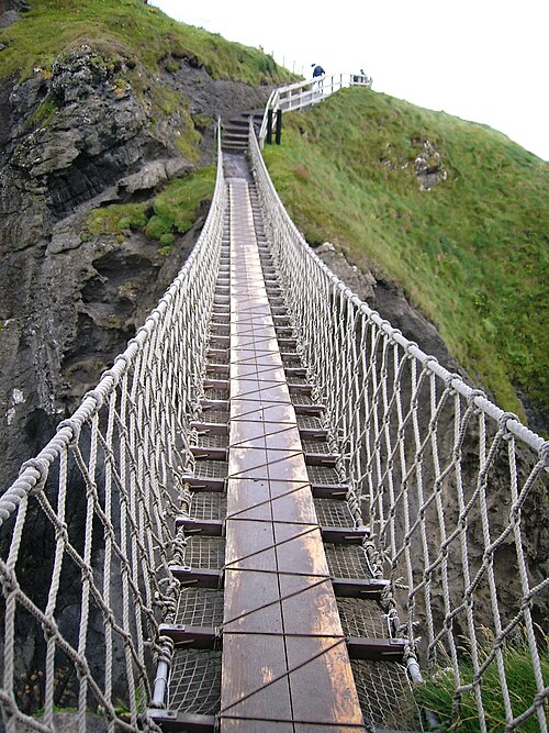 Carrick-a-rede Rope BridgeHeritage attraction · 1.9 mi
 Carrickarede IslandIslet · 2.0 mi
 Dunseverick FallsWaterfall · 2.3 mi
 DunsevrickCliff · 2.4 mi
 Dunseverick CastleCastle · 2.6 mi
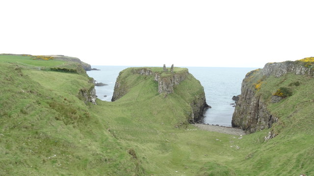 DUNSEVERICK CASTLE in Feigh Alias DunseverickDUNSEVERICK CASTLE · 2.6 mi
 Dunseverick Parish ChurchChurch · 3.4 mi