What is recorded here
In the W sector of the interior of a rath (GA106-121----). This much-collapsed drystone-built Man-made underground passage (L >18.2m) is L-shaped in plan. The long axis (L 9.3m; Wth 1.4m) runs N-S. The short axis (L 8.9m) extends from its SE end and runs E-W.
Compiled by: Galway Archaeological Survey, UCG
Date of upload: 24 January 2018
The monument record does not grant public access. Check the route and ask the landowner before entering private land.
- What survives
- Recorded monument
Places near here
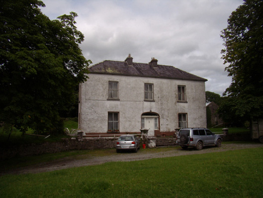 Carrowkeel Housecountry house · 787 yd
 Saint Andrew's Catholic Churchchurch/chapel · 831 yd
 St. Brendans WellHoly well · 908 yd
 Castle (in ruins)Castle, tower house · 1289 yd
 Ballynamantragh CastleCastle, unclassified · 1.0 mi
 Enclosure in Clogharoasty,kilcoolyEnclosure · 1.2 mi
 Dartfield Horse MuseumHeritage attraction · 3.8 mi
 Stone Islands SouthIslet · 4.1 mi
 Long PointHeadland · 4.2 mi
 Island McCooIslet · 4.3 mi
 Quarryhill WoodWood · 4.5 mi
 Bog WoodForest · 5.0 mi