What is recorded here
In a rath (KE057-022----). A 'cave' is indicated the SE quadrant of the rath on the 1846 OS 6-inch map. There are no visible remains of this possible Man-made underground passage.
Compiled by: Elizabeth Byrne, Ursula Egan and Sheila Ronan, Archaeological Survey Unit, University College, Cork.
Date of upload: 31 January 2011
This remains an important historical record, but the official description says the monument is no longer visible or has been destroyed. The monument record does not grant public access. Check the route and ask the landowner before entering private land.
- What survives
- No visible remains or recorded as destroyed
Places near here
 Milleen FortFairy fort / earthen ringfort · 1456 yd
 The Kerry Creamery ExperienceHeritage attraction · 1.3 mi
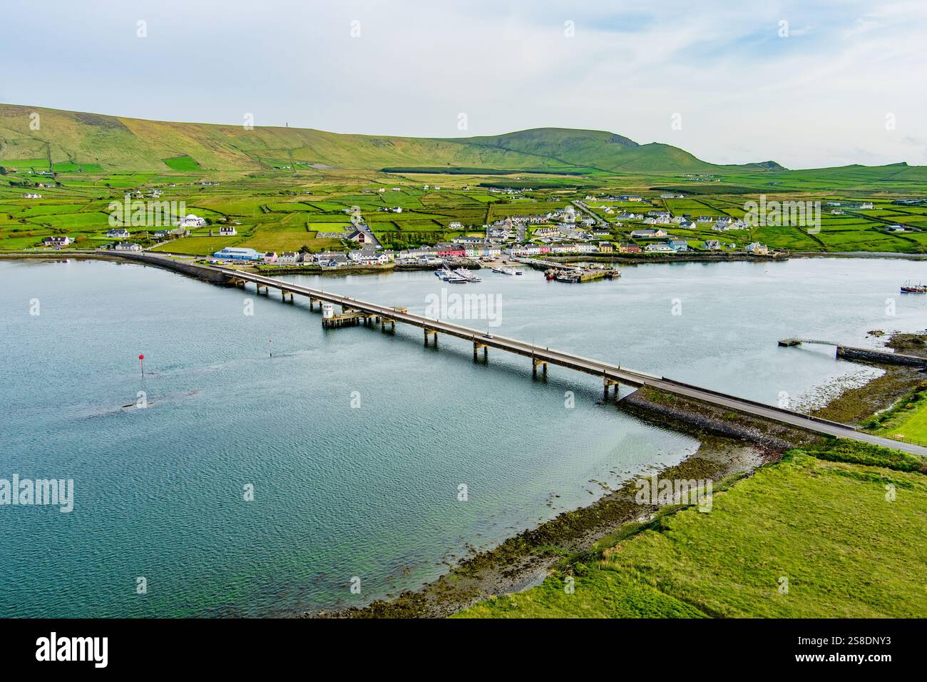 Man-made underground passage in ArdywanigMan-made underground passage · 1.3 mi
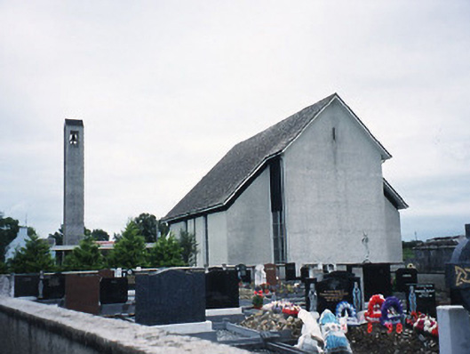 Catholic Church of the Immaculate Conceptionchurch/chapel · 1.4 mi
 Knocknamucklagh Ho.Country house · 2.1 mi
 Fieries CastleCastle · 3.2 mi
 Site of Castle MaineCastle, Anglo-Norman masonry castle · 3.4 mi
 Japanese pagoda treeJapanese pagoda tree · 4.8 mi
 European YewEuropean Yew · 4.8 mi
 Dunloe Ogham StonesHeritage attraction · 4.8 mi
 Clash IslandIslet · 4.9 mi
 Rabbit or Brown IslandIslet · 6.5 mi