What is recorded here
In N part of an irregularly shaped graveyard (GA061-089003-). On 1st ed. of OS 6-inch map, the named 'Cave' appears to refer to a small rectangle (c. 6m by c. 5m) and a circle (c. 4m) in N part of the graveyard. On 3rd ed. (1915), two dots, c. 10m apart, are shown. These appear to represent the two breaches which give access to the Man-made underground passage. The section presently accessible comprises three drystone-built rectangular chambers, roughly L-shaped in plan. Access to the 1st chamber (L c. 5.6m, Wth 1.2m), running NNW-SSE, is gained via a modern breach at SSE end. A creep (Wth 0.76m) at NNW end leads to 2nd chamber (L c. 3.6m, Wth 1m), running NW-SE. The NW end is filled with soil. To NNW, a 3rd chamber (L 10.5m) runs off almost at right angles on a NNE-SSW axis. It is entered through a breach at its SSW end. It is likely that the three chambers were originally linked but collapse at the right-angled junction obscures any connecting passage or creep.
The above description is derived from the published 'Archaeological Inventory of County Galway Vol. II - North Galway'. Compiled by Olive Alcock, Kathy de hÓra and Paul Gosling (Dublin: Stationery Office, 1999).
Date of upload: 05 August 2010
The monument record does not grant public access. Check the route and ask the landowner before entering private land.
- What survives
- Recorded monument
Places near here
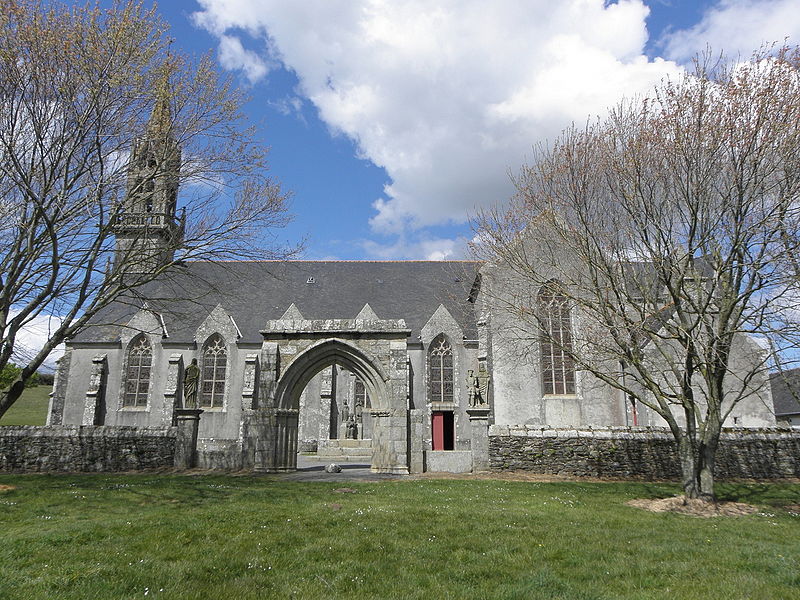 Site of R.C. ChapelChapel · 23 yd
 Holy WellHoly well · 79 yd
 Castle Ffrenchgate lodge · 1.1 mi
 RoadRoad, class 3 togher · 1.1 mi
 Tower (in Ruins)Castle, tower house · 1.4 mi
 Clonbrock CastleCastle, tower house · 2.2 mi
 Sweet ChestnutSweet Chestnut · 2.3 mi
 SycamoreSycamore · 2.6 mi
 Inch IslandIsland · 4.4 mi
 Ballinlass Eviction MemorialMemorial · 5.8 mi
 Kilconnell AbbeyHeritage attraction · 7.4 mi
 Mount MaryMountain / peak · 9.1 mi