What is recorded here
On the crest of a steep ridge in pastureland. Within the site of a possible rath (GA125-077----). When initially visited by the Survey in May 1983, this drystone-built L-shaped Man-made underground passage (L >7.4m) consisted of two chambers. Access was gained to the 1st chamber (L 7.4m; Wth 1.7m; H 1.8m), which ran E-W, through a cracked roof lintel. The 2nd chamber extended from its NW end and ran N-S. It was filled with rubble and was inaccessible. No visible surface trace of the Man-made underground passage was noted during a revisit in 1985.
Compiled by: Galway Archaeological Survey, UCG
Date of upload: 10 January 2018
The monument record does not grant public access. Check the route and ask the landowner before entering private land.
- What survives
- Recorded monument
Places near here
 LisnagolaFairy fort / earthen ringfort · 533 yd
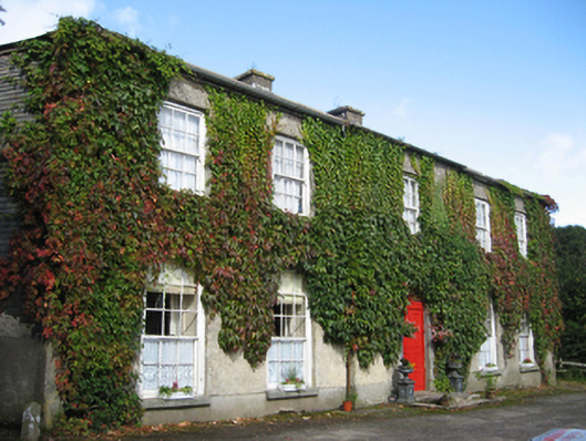 Eagle Hillcountry house · 1334 yd
 Enclosure in EaglehillEnclosure · 1437 yd
 Friary (in ruins)Religious house, Cistercian monks · 1715 yd
 Coolfin Castle (in ruins)Castle, tower house · 1.4 mi
 Site of CastleCastle, unclassified · 2.0 mi
 Oak WoodForest · 2.7 mi
 Bog WoodForest · 3.0 mi
 Friar's IslandIslet · 5.1 mi
 Abbey IslandIslet · 5.2 mi
 Stonyisland BayBay · 5.3 mi
 TullymoreMountain / peak · 6.0 mi