What is recorded here
Situated on a small natural ridge, overlooked by high ground to the E, in gently undulating pasture. Ringfort (WM017-048----) c. 82m to SE. No surface remains visible on recent Digital Globe aerial photography. Not depicted or named on the 1837 OS 6-inch map, where the area is occupied by a limestone ridge running N-S. Shown on the revised 1913 ed. OS 25-inch map as a small circular area (approx. diam. 3m) annotated ‘Cave’ at the S end of a curvilinear earthwork which is labelled ‘Sand Pit (Disused)’. The site is described in 1971 as located at the S end of a curvilinear depression which is represents the remains of a relatively modern quarry. There are no surface remains visible of a 'Cave' or Man-made underground passage. A shallow, circular depression (diam. 3m; max. D 0.65m) in the floor of the quarry may mark the site of a collapsed chamber belonging to a Man-made underground passage that was mainly removed by quarrying of the sand pit.
Compiled by: Alison McQueen, Vera Rahilly and Caimin O’Brien
Date of upload: 07 December 2018
The monument record does not grant public access. Check the route and ask the landowner before entering private land.
- What survives
- Recorded monument
Places near here
 Rathcastle Housedemesne walls/gates/railings · 462 yd
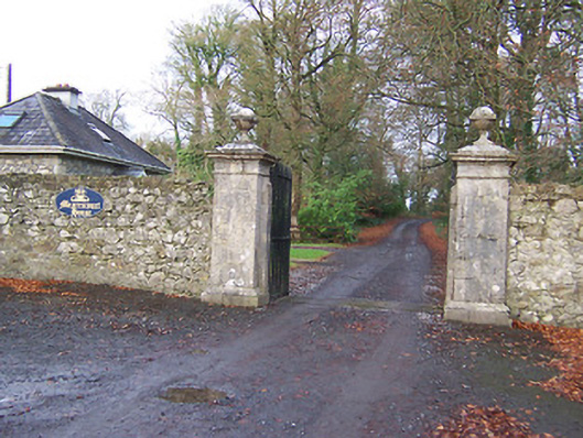 Mearscourt Housedemesne walls/gates/railings · 1116 yd
 Site of ChurchChurch · 1190 yd
 Site of AbbeyReligious house, unclassified · 1283 yd
 CastleCastle, tower house · 1.0 mi
 Milltown Castle in ruinsCastle, unclassified · 1.3 mi
 Ancient Ring FortWood · 1.7 mi
 Sessile OakSessile Oak · 3.3 mi
 Abbeyshrule AbbeyRuins · 4.5 mi
 Craft WorkshopHeritage attraction · 5.6 mi
 Guest ServicesVisitor information · 5.6 mi
 Noughaval CemeteryArchaeological place · 8.5 mi