What is recorded here
Within and against the enclosing bank in the WSW sector of a rath (MA070-113001-). Recorded as ‘Cave’ on the first edition (1837) of the OS 6-inch map. An elongated hollow (L 8m N–S; Wth 3.2m; D 0.8m at S to 1.1m at N) may be the remains of a robbed-out Man-made underground passage.
Date of visit: 9-5-2025
Compiled by: Gearóid Conroy
The monument record does not grant public access. Check the route and ask the landowner before entering private land.
- What survives
- Recorded monument
Places near here
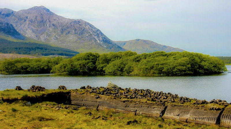 IndicatedEnclosure · 681 yd
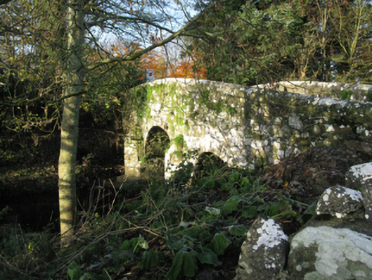 bridgebridge · 1703 yd
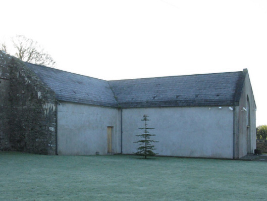 church/chapelchurch/chapel · 1753 yd
 Castle (in Ruins)Castle, motte · 1.0 mi
 Enclosure in Toormore EastEnclosure · 1.0 mi
 Corraun CastleCastle · 1.1 mi
 Oak WoodWood · 2.9 mi
 National Museum of Ireland, Country LifeMuseum · 3.1 mi
 Sunken GardenWood · 3.2 mi
 Admiral William BrownMemorial · 5.1 mi
 Foxford Woollen MillsHeritage attraction · 5.1 mi
 FarbreigaMountain / peak · 6.2 mi