What is recorded here
Located in a rath (MA048-050001-). Marked on the 1922 OS 6-inch map as ‘Cave’, at the SW edge of the rath. An inspection in 1996 found no surface trace of the Man-made underground passage (SMR file). In February 2013, natural subsidence caused the collapse of one of the roofing lintels of the Man-made underground passage. The resulting opening (diam. c. 0.50m) in the field surface revealed a chamber of drystone construction. The chamber (L c. 4.2m N–S; Wth 2.7m; H 1.9m) is roughly oval in plan, with walls constructed of roughly coursed, irregular-shaped large stones and boulders. The walls are gently corbelled towards the top to support a roof of large overlapping stone slabs. At the S end of the chamber, the slight displacement of one of the roofing lintels, at some unknown time in the past, has allowed a large heap of sandy soil to spill into the chamber, obscuring the S wall and covering much of the floor area. At its N end, the chamber connects with a short passage (L 1.85m N–S; Wth 0.6m E–W; H at least 0.8m), roofed with two lintels. The surface access hole overlies the S end of the passage, and has caused the collapse of part of its E wall. The roof of the passage is continuous with that of the chamber but the passage floor may be set at a higher level. However, the exact form of the junction between the passage and the chamber could not be examined as it is now obscured by a collapsed lintel and a pile of displaced soil and stones. The N, or end wall, of the passage is obscured by a heap of soil and it was not possible to determine if the Man-made underground passage continues beyond this point.
Compiled by: Jane O'Shaughnessy
Date of upload: 18 February 2013
The monument record does not grant public access. Check the route and ask the landowner before entering private land.
- What survives
- Recorded monument
Places near here
 IndicatedFairy fort / earthen ringfort · 354 yd
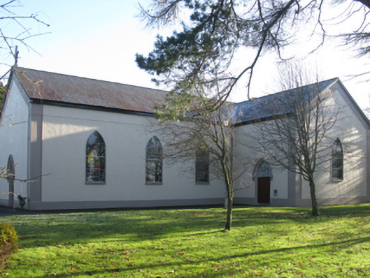 Catholic Church of Christ the Kingchurch/chapel · 829 yd
 Enclosure in Lissaniska WestEnclosure · 861 yd
 Killeencormack Grave YardChurch · 1.3 mi
 Castle (in ruins)Castle, unclassified · 1.5 mi
 Drummin ForestForest · 2.4 mi
 Lough CullinViewpoint · 2.5 mi
 Cliff IslandIslet · 2.5 mi
 Cloghans CastleCastle, tower house · 3.0 mi
 Gull IslandIslet · 3.2 mi
 Foxford Woollen MillsHeritage attraction · 3.4 mi
 Admiral William BrownMemorial · 3.5 mi