DDiscover AloneMapAbout

Cave in Gortnadrass

Man-made underground passage
Computer-made picture that does not show Cave in GortnadrassNot a photo of this monument
Computer-made picture. It does not show this monument. · Report the wrong picture

What is recorded here

Located in the S half of a rath (MA032-016001-). Indicated as 'Cave' on the 1914 OS 6-inch map, this drystone-built Man-made underground passage consists of a N−S passage, which connects at its S end via a short creep to a subrectangular chamber. The walls are constructed of roughly coursed limestone rubble,…

Read the whole record
Located in the S half of a rath (MA032-016001-). Indicated as 'Cave' on the 1914 OS 6-inch map, this drystone-built Man-made underground passage consists of a N−S passage, which connects at its S end via a short creep to a subrectangular chamber. The walls are constructed of roughly coursed limestone rubble, consisting of irregular-shaped medium and large stones and boulders, with smaller stones filling the interstices. The passage and chamber are each roofed by a row of contiguous large limestone slabs. The roof lintels and the stones in the upper courses of the walls are covered in a thick white coating of calcium carbonate . A surface opening (H c. 0.55m; Wth c. 1m) leads into the passage (L c. 3.6m N−S; Wth 1m E−W), which slopes downwards to S. Displaced earth, incorporating a large boulder, partly blocks the access hole. The walls of the passage are composed of between four to six courses and incline inwards gently towards the top to support four large lintel slabs, laid transversely. The sloping floor gives the passage a height of 1.12m close to the entrance at N and of 1.5m at the lower S end. The floor is covered by loose stone rubble. In the S wall of the passage there is short creep (H 0.69m; Wth 0.68m at base, 0.6m at top; L 0.75m). The opening to the creep spans almost the full width of the S wall of the passage, with its W side wall being almost flush with the W wall of the passage, and its E wall separated from the E wall of the passage by a short offset/corner. The creep is roofed by a single lintel, which does not extend the full N−S length of the creep; the S end of the creep is roofed by two roughly-set boulders. The creep opens into the N end of a subrectangular chamber (L 2.55m N−S; Wth 1.98m E−W; H 2.1m) with gently rounded corners. The walls of the chamber rise in six to eight rough courses, with the upper courses slightly corbelled to support three massive roof lintels, set transversely. A fourth smaller subsidiary lintel fills a gap at the SE end of the roof. In the centre of the E wall, at a height of 0.3m (one course) above current floor level, there is a rectangular recess or wall cupboard (H 0.64m; Wth 0.46m N−S), which extends to a depth of 1.07m (E−W). The sides of the recess are of 2-3 courses of large stones; it is roofed by a single large lintel slab (L 1.2m N−S; Wth 0.7m E−W) which does not span the full depth of the recess. A large boulder forms the floor, but this is largely concealed by displaced earth spilling from the back wall of the recess, which is cut into natural subsoil and is not faced with stone. The chamber floor is overspread with a layer of loose limestone rubble, with accumulations of gravelly soil beneath the wall recess and in the SW corner of the chamber. A quernstone fragment (SL032-016003-) was found close to the Man-made underground passage (NMI).

From the National Monuments Service (Archaeological Survey of Ireland) record SL032-016002

The monument record does not grant public access. Check the route and ask the landowner before entering private land.

What do you know about this place?Tap to add a comment or ask a question

What you write will be public.

Places near here

Photo credits
  • Andreas F. Borchert, Wikimedia Commons · CC BY-SA 4.0
  • Digi-Telly, Wikimedia Commons · CC BY-SA 4.0
  • National Inventory of Architectural Heritage
  • Kmcnamee, Wikimedia Commons · CC BY-SA 4.0
  • Maker not stated on source page, www.rte.ie
  • Tubbercurry GAA Club (official website publisher); individual aerial photographer not named, tubbercurrygaa.com
  • Michael Murtagh, Geograph · CC BY-SA 2.0
  • Oliver Dixon, Geograph · CC BY-SA 2.0
  • Dieglop, Wikimedia Commons · CC BY-SA 4.0
Abbey CourtReligious house, Franciscan friars · 988 yd

Explorer Tom Abbey Court in Lavagh hosted a dance that went so far the floorboards still remember the regret. It’s a Franciscan…

KnocknasheeMountain / peak · 1084 yd

Explorer Tom Knocknashee hid a fifty-three-acre hillfort in plain sight until an aerial survey made people look properly in 1988.…
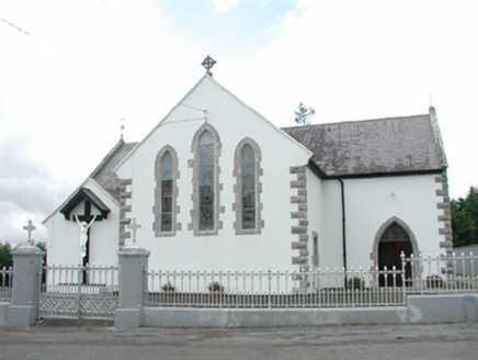
Catholic Church of the Sacred HeartChurch/chapel · 1.3 mi

Explorer Tom Catholic Church of the Sacred Heart had a matchmaker who paired off half the parish before she died. The stained glass…

Nace O'Dowd Park, Coolaney/Mullinabreena GAAGAA ground · 1.7 miCloonacool GAA Community FieldGAA ground · 3.8 miKilcoyne Park, Tubbercurry GAAGAA ground · 4.8 miChaffpool HouseHouse · 4.8 mi

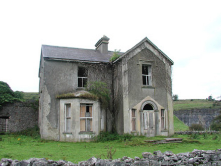
Explorer Tom Chaffpool House in County Sligo is decaying beautifully and would tell the modern replacement that it at least had the…

Abbey (in Ruins)Religious house, Dominican friars · 5.1 mi

Explorer Tom The Abbey at Rinnarogue is perched on a drumlin slope, looking down its nose at any tourists who wander up from Dublin…
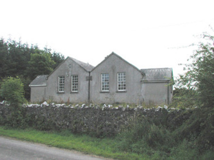
Bunnanaddan National SchoolSchool · 5.2 mi

Explorer Tom Bunnanaddan National School is derelict but still teaches us something: boys and girls were kept separate, which saved…

CrockaunsMountain / peak · 18 mi

Explorer Tom Crockauns bragged about surviving a storm so violent it rearranged its own topography and sent the local cows into a…

Glencar IslandIslet · 19 mi

Explorer Tom Glencar Island in County Leitrim would complain to the council about the noise levels from the swans, claiming they’re…

Glencar WaterfallVisitor information · 19 mi

Explorer Tom Glencar Waterfall in County Leitrim gave up sugar for Lent but ended up eating a whole wheel of cheese instead anyway.…

More archaeology and monuments in County Sligo · All of County Sligo

Add to this placeAdd a picture Add a detailed tip Add a story

Explore the map1,095,414 places to discover

Next place · or swipeAbbey Court