What is recorded here
In flat pastureland. This drystone-built Man-made underground passage (Wth c. 1.3m) is blocked up but from a visual inspection it appears to run NNE-SSW. Slight traces of a straight bank (L c. 28m) are visible to its W.
Compiled by: Galway Archaeological Survey, UCG
Date of upload: 8 October 2019
The monument record does not grant public access. Check the route and ask the landowner before entering private land.
- What survives
- Recorded monument
Places near here
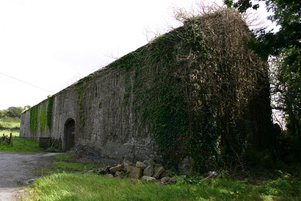 Cappard Houseoutbuilding · 980 yd
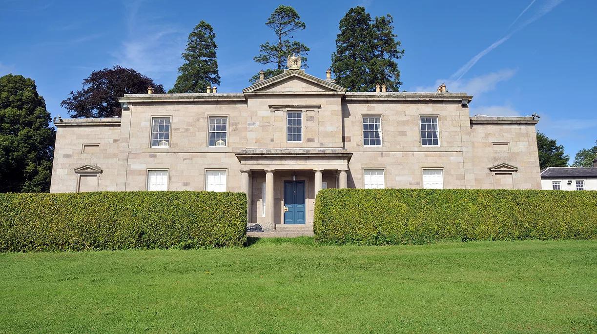 Cappard Ho.House, 18th/19th century · 1078 yd
 Enclosure in LissadultaEnclosure · 1429 yd
 Enclosure in NewtownblakeEnclosure · 1514 yd
 Rahaly Castle (in ruins)Castle, tower house · 2.0 mi
 Bawn in Cloghaun (loughrea By.)Bawn · 2.4 mi
 KnockapollboyMountain / peak · 3.1 mi
 European ashEuropean ash · 3.4 mi
 HawthornHawthorn · 3.4 mi
 Scalpeen RockNamed rock · 4.2 mi
 KnocknarebanaMountain / peak · 4.3 mi
 Kilmacduagh Monastic SiteVisitor information · 8.3 mi