What is recorded here
In pastureland. This inaccessible drystone-built Man-made underground passage was described by McCaffrey (1952, 156, no. 63) as a ‘large L-shaped Man-made underground passage, partially blocked’. On inspection one roof lintel was visible protruding through the sod cover. A house site (GA096-094----) lay c. 75m to the SSW.
Compiled by: Galway Archaeological Survey, UCG
Date of upload: 8 October 2019
The monument record does not grant public access. Check the route and ask the landowner before entering private land.
- What survives
- Recorded monument
Places near here
 Pete’s CastleCastle · 754 yd
 Caher CastleCastle · 919 yd
 bridgebridge · 1069 yd
 IndicatedFairy fort / stone ringfort · 1566 yd
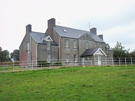 Ballymore Parkcountry house · 1700 yd
 Moyard WoodWood · 1.7 mi
 Athenry AbbeyHeritage attraction · 4.4 mi
 Athenry CastleHeritage attraction · 4.5 mi
 Horse-chestnutHorse-chestnut · 4.8 mi
 First Battle of Athenrybattle · 5.3 mi
 Barrack IslandIslet · 6.2 mi