What is recorded here
Within the interior of a cashel (GA105-079----). Named 'Cave' on the 1838 edition of the OS 6-inch field map. No visible surface trace survives. (McCaffrey 1952, 257, no. 2a)
Compiled by: Galway Archaeological Survey, UCG
Date of upload: 8 December 2017
The monument record does not grant public access. Check the route and ask the landowner before entering private land.
- What survives
- Recorded monument
Places near here
 Kilconickny Church (in ruins)Church · 573 yd
 St. Faelans WellsHoly well · 589 yd
 Killian Chapel (in ruins)Church · 743 yd
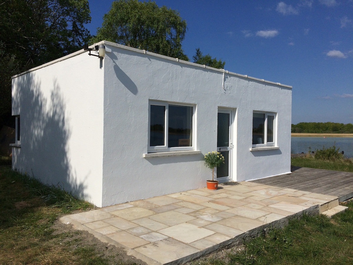 Enclosure in Carrowbaun (loughrea By.)Enclosure · 979 yd
 Cloghastookeen Castle (in ruins)Castle, unclassified · 1.2 mi
 Site of Cloonoo CastleCastle, unclassified · 1.6 mi
 Blake's IslandIslet · 2.9 mi
 Barrack IslandIslet · 3.2 mi
 Turoe StoneHeritage attraction · 3.8 mi
 Long PointHeadland · 4.0 mi
 Moyard WoodWood · 4.1 mi
 Scalpeen RockNamed rock · 6.9 mi