What is recorded here
In the NW quadrant of the interior of a rath (GA113-106----). A linear depression (L 12m; Wth 2m), running NNW-SSE, may mark the site of the 'Cave' shown on the 1838 edition of the OS 6-inch map. (McCaffrey 1952, 270, No. 27)
Compiled by: Galway Archaeological Survey, UCG
Date of upload: 4 December 2017
The monument record does not grant public access. Check the route and ask the landowner before entering private land.
- What survives
- Recorded monument
Places near here
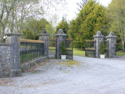 demesne walls/gates/railingsdemesne walls/gates/railings · 816 yd
 CaveMan-made underground passage · 924 yd
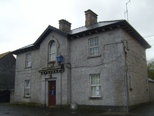 Ardrahan Garda Síochána StationRIC barracks · 1058 yd
 Round Tower (in ruins)Round tower · 1059 yd
 Castle (in ruins)Castle, Anglo-Norman masonry castle · 1192 yd
 Drumharsna CastleHeritage attraction · 1.2 mi
 Drumharsna Castle (in ruins)Castle, tower house · 1.2 mi
 HawthornHawthorn · 2.6 mi
 European ashEuropean ash · 2.6 mi
 Drumacoo Monastic SiteHeritage attraction · 4.9 mi
 Goose IslandIslet · 8.8 mi
 InishcorraIslet · 9.0 mi