What is recorded here
Half-hidden beneath a Burren cashel, the cave bends like a living thing: a short roofed throat, a narrow unroofed channel, then a long sweep toward a round hollow that may have been a chamber. People shaped rock into a secret route, perhaps to keep warm, store things, or escape the western wind. T.J. Westropp walked it in 1899 and drew its S-curve into the world, but the cave still keeps its own distance, giving up only as much as it chooses.
In the N half of a cashel (CL005-160019-) in elevated rocky pasture overlooked by higher ground to the N and E with extensive views to the W. Within an extensive multiperiod field system (CL005-160001-). The enclosing cashel is hachured and named ‘Fort & Cave’ on the 1840 and 1916 OS 6-inch maps. Westropp (1899, 372) noted that the ‘Man-made underground passage forms an S-curve under the wall [of the cashel]’. A curvilinear Man-made underground passage most clearly defined in the NW quadrant of the garth as a section of roofed passage (L 2.8m). From here an unroofed section of the passage curves SE (Wth 0.8-0.9m; D 0.4-0.6m), before turning SW (L 9m) to reach a circular depression (diam. 2-3m) representing a possible chamber.
Westropp, T.J. 1899 Prehistoric remains in the Burren, County Clare. Journal of the Royal Society of Antiquaries of Ireland 9(4), 367-384.
Compiled by: Mary Tunney and Eve Campbell
Date of upload: 7 October 2025
The monument record does not grant public access. Check the route and ask the landowner before entering private land.
- What survives
- Recorded monument
Places near here
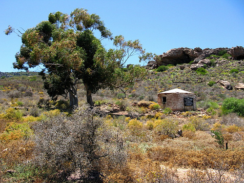 Fort and Cave HachuredFairy fort / stone ringfort · 5 yd
 IndicatedFairy fort / stone ringfort · 257 yd
 PoulnabroneMemorial · 263 yd
 The Portal TombVisitor information · 1659 yd
 Poulnabrone DolmenHeritage attraction · 1661 yd
 Poulnabrone - Burren GeositeVisitor information · 1.0 mi
 Caherconnell Stone FortRuins · 1.2 mi
 CaherconnellHeritage attraction · 1.2 mi
 Gleansleade Castle (in ruins)Castle, tower house · 1.3 mi
 Castle (in ruins)Castle, unclassified · 1.9 mi
 Cave of the Wild HorsesCave · 2.0 mi
 Saint Columba's Catholic Churchchurch/chapel · 2.0 mi