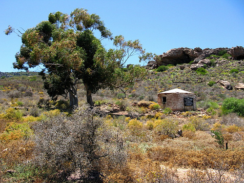
What is recorded here
In elevated rocky pasture overlooked by higher ground to the N and E with extensive views to the W. Within an extensive multiperiod field system (CL005-160001-). Hachured and named ‘Fort & Cave’ on the 1840 and 1916 OS 6-inch maps. Abutted to the S by a dwelling shown on both map editions. Described by Westropp (1899, 372) as a ‘circular stone fort … the southern segment of which has been destroyed, and the house built on its site with the material’.
A subcircular cashel (28m N-S) defined by a stone wall (Wth 2.3m; max. ext. H 2.4m; max. int. H 0.4m) from SW to NE and a broad rubble bank (Wth 5-6m; H 0.9m) from NE to ESE. From ESE to SW the monument has been truncated by the construction of the adjacent dwelling leaving a low grassed-over bank of rubble (H 0.7-0.9m). There is a modern gap at the NE; the location of the original entrance is unclear. There is a Man-made underground passage (CL005-160045-) in the NW quadrant. A rectangular cashel (CL005-160017-) with a Man-made underground passage (CL005-160044-) lies c. 80m to the N.
Compiled by: Mary Tunney and Eve Campbell
Date of upload: 30 September 2025
This remains an important historical record, but the official description says the monument is no longer visible or has been destroyed. The monument record does not grant public access. Check the route and ask the landowner before entering private land.
- What survives
- No visible remains or recorded as destroyed
Places near here
 PoulnabroneMemorial · 262 yd
 IndicatedFairy fort / stone ringfort · 262 yd
 MonumentMass-rock · 321 yd
 The Portal TombVisitor information · 1660 yd
 Poulnabrone DolmenHeritage attraction · 1662 yd
 Poulnabrone - Burren GeositeVisitor information · 1.0 mi
 Caherconnell Stone FortRuins · 1.2 mi
 CaherconnellHeritage attraction · 1.2 mi
 Gleansleade Castle (in ruins)Castle, tower house · 1.3 mi
 Castle (in ruins)Castle, unclassified · 1.9 mi
 Cave of the Wild HorsesCave · 2.0 mi
 Saint Columba's Catholic Churchchurch/chapel · 2.0 mi
Other information
Photo: Credit not shown in the picture search · Rights wording not checked; contact us if this picture should be removed