What is recorded here
Recorded on the first edition (1835) of the OS 6-inch as a ‘Cave’ (a possible Man-made underground passage) in the S sector of a probable ringfort (MA070-060001-). However, neither monument is recorded on the later, OS 25-inch map (1893) which shows the ‘Midland Great Western Railway (Mayo Branch)’ running N-S less than 10m to the E of the site of the ringfort. The location is now partially rough ground on a gentle E-facing slope just W of the rail line and E of an extensively quarried out area. While no visible surface traces survive, subsurface remains may still exist.
Date of visit: 17-04-2025
Compiled by: Gearóid Conroy
The monument record does not grant public access. Check the route and ask the landowner before entering private land.
- What survives
- Recorded monument
Places near here
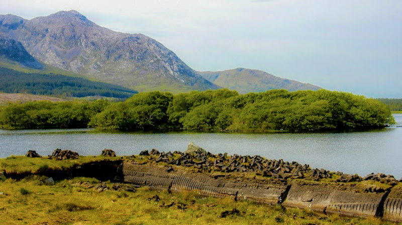 IndicatedEnclosure · 549 yd
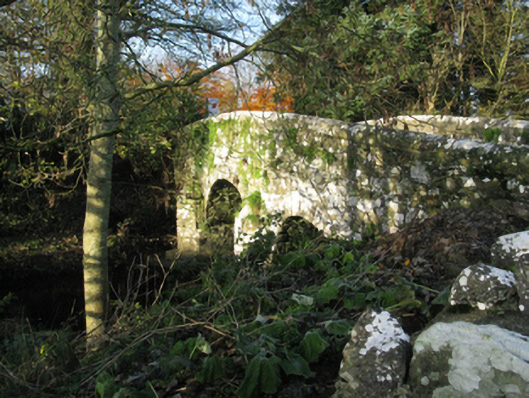 bridgebridge · 1249 yd
 Michael DavittMemorial · 1265 yd
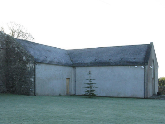 church/chapelchurch/chapel · 1307 yd
 Enclosure in Toormore EastEnclosure · 1.4 mi
 Castle (in Ruins)Castle, motte · 1.4 mi
 Corraun CastleCastle · 1.5 mi
 Oak WoodWood · 3.2 mi
 National Museum of Ireland, Country LifeMuseum · 3.4 mi
 Sunken GardenWood · 3.5 mi
 Admiral William BrownMemorial · 4.6 mi
 Foxford Woollen MillsHeritage attraction · 4.6 mi