What is recorded here
Cave is a T-shaped drystone passage beneath a Galway cashel, its chambers blocked and clay-filled. The first chamber runs ten metres east-west under the wall, while the second cuts north-south toward it, forming an angle no one has walked. The point where they meet remains hidden, leaving the shape complete in stone but closed to human entry.
In the NW quadrant of a cashel (GA113-094----), beneath a house site (GA113-094). This inaccessible drystone-built Man-made underground passage appears to be roughly T-shaped in plan and consists of two chambers. A visual inspection through a blocked-up breach at the E end of the 1st chamber (L c. 10m; Wth 1.8m), which is clay filled, indicated that it runs ESE-WNW. It appears to extend beneath the cashel wall to the W. To the E of the breach, the line of the chamber is visible as a linear depression (L c. 5m). The 2nd chamber was also inspected through a blocked-up gap; it runs NNE-SSW towards the N side-wall of the 1st chamber. It was impossible to determine the point of access between the two chambers. (McCaffrey 1952, 268, no. 5a)
Compiled by: Galway Archaeological Survey, UCG
Date of upload: 10 September 2019
The monument record does not grant public access. Check the route and ask the landowner before entering private land.
- What survives
- Recorded monument
Places near here
 IndicatedEnclosure · 879 yd
 RathbaunFairy fort / earthen ringfort · 1105 yd
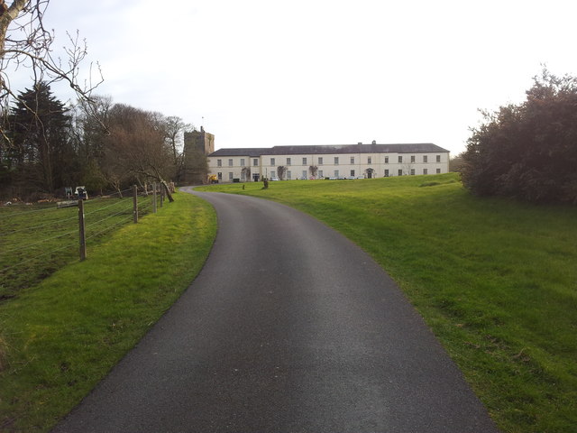 Cloghballymore Ho.House, 18th/19th century · 1.6 mi
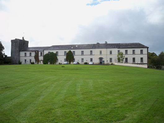 Cloghballymore Housecountry house · 1.6 mi
 Drumharsna CastleHeritage attraction · 1.8 mi
 Drumharsna Castle (in ruins)Castle, tower house · 1.8 mi
 Drumacoo Monastic SiteHeritage attraction · 2.8 mi
 Ballymaquiff CastleCastle · 2.8 mi
 Mulroney's IslandIslet · 3.5 mi
 Cusheen IslandIslet · 3.8 mi
 Kilcornan ForestWood · 4.2 mi
 HawthornHawthorn · 4.4 mi