
What is recorded here
In reclaimed pastureland. Subcircular rath (26.8m WSW-ENE), in fair condition, defined by a grassed-over bank of earth and stone from E through S to NNW; elsewhere a scarp forms the enclosing element. Field-clearance rubble obscures the bank from E to S.
Compiled by: Galway Archaeological Survey, UCG
Date of upload: 5 January 2018
The monument record does not grant public access. Check the route and ask the landowner before entering private land.
- What survives
- Recorded monument
Places near here
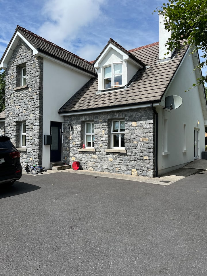 Enclosure in BallycullooEnclosure · 909 yd
 CahershaneykellyFairy fort / stone ringfort · 950 yd
 Kiltiernan Church (in ruins)Church · 1.1 mi
 Quarry in Caherpeak WestQuarry · 1.7 mi
 Drumharsna CastleHeritage attraction · 2.2 mi
 Drumharsna Castle (in ruins)Castle, tower house · 2.2 mi
 Castle (in ruins)Castle, Anglo-Norman masonry castle · 2.3 mi
 Drumacoo Monastic SiteHeritage attraction · 2.6 mi
 Kilcornan ForestWood · 3.7 mi
 MweenisharanIslet · 4.0 mi
 Mulroney's IslandIslet · 4.1 mi
 Loughaun WoodWood · 4.2 mi
Other information
Photo: Credit not shown in the picture search · Rights wording not checked; contact us if this picture should be removed