What is recorded here
In the SW quadrant of a rath (MA040-013001). An opening to the Man-made underground passage, indicated on the 1922 OS 6-inch map as ‘Cave’, is located in the internal face of the inner enclosing bank of the rath at SW. It is evident as a subrectangular depression (3m N−S; 1m E−W; D c. 0.8m), with an in situ lintel slab visible on its E side, covering a passage which appears to extend to the E. It is engulfed in brambles. According to local information, the Man-made underground passage passage is of drystone construction with lintel roofing. It extending for some meters to E or NE, and is broader near the entrance; there is a small opening at the E end of the passage, beyond which there appeared to be a void or drop.
In the SW quadrant of a rath (MA040-013001). An opening to the Man-made underground passage, indicated on the 1922 OS 6-inch map as ‘Cave’, is located in the internal face of the inner enclosing bank of the rath at SW. It is evident as a subrectangular depression (3m N−S; 1m E−W; D c. 0.8m), with an in situ lintel slab visible on its E side, covering a passage which appears to extend to the E. It is engulfed in brambles. According…
From the National Monuments Service (Archaeological Survey of Ireland) record MA040-013002
The monument record does not grant public access. Check the route and ask the landowner before entering private land.
- What survives
- Recorded monument
Places near here
Photo credits
- Newbert12, Wikimedia Commons · CC BY-SA 4.0
- National Inventory of Architectural Heritage
- Milesoneill, Wikimedia Commons · Public domain
- Monucg at en.wikipedia, Wikimedia Commons · CC BY-SA 3.0
- Richard Webb, Geograph · CC BY-SA 2.0
- Alan Reid, Geograph · CC BY-SA 2.0
- Mike Searle, Wikimedia Commons · CC BY-SA 2.0
- Ray Martin, Wikimedia Commons · Public domain
- Didier Descouens, Wikimedia Commons · CC BY-SA 4.0
 IndicatedWedge tomb · 919 yd
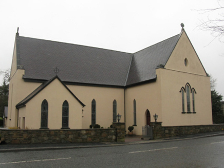 Catholic Church of the Immaculate Heart of MaryChurch/chapel · 1.9 mi
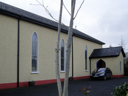 Catholic Church of the Immaculate Conception and Saint JosephChurch/chapel · 2.9 mi
 Humbert MonumentMemorial · 4.2 mi
 Knox Gore MonumentMonument · 4.4 mi
 Belleek WoodsWood · 4.6 miBattle of BallinaBattle · 4.6 mi
 Largan HillMountain / peak · 5.3 mi
 Lough Talt TrailVisitor information · 6.0 mi
_(geograph_1954385).jpg/250px-Castles_of_Connacht-_Deel,_Mayo_(1)_(geograph_1954385).jpg "Photo: Mike Searle, Wikimedia Commons · CC BY-SA 2.0") Deel CastleCastle · 7.9 mi
Deel CastleCastle · 7.9 mi CastleCastle, tower house · 7.9 mi
 Hawthorn8.9 mi
More archaeology and monuments in County Mayo · All of County Mayo
What do you know about this place?