
What is recorded here
In gently undulating pasture, on a level area with a steep natural break of slope to the S. The lintelled entrance (Wth 0.45m; H 0.2m) to the Man-made underground passage is located at the base of the S side of a drystone field boundary wall and is largely blocked by earth and stone making access impossible. According to local information, a passage extends N for 12m from the entrance to another access point which is now blocked and evident as a depression (1m x 1m; D 0.3m). Burnt and unburnt animal bones were noted in spoil around the depression during a previous inspection in 1993 (SMR (1989) file). The area between both entrances is disturbed by badger sets. A hut site (SL041-053----) lies c. 65m to NE.
The above description is derived from the published 'Archaeological Inventory of County Sligo' compiled by Ursula Egan, Elizabeth Byrne, Mary Sleeman with Sheila Ronan and Connie Murphy (Dublin Stationery Office, 2005).
Date of upload: 18 January 2008
The monument record does not grant public access. Check the route and ask the landowner before entering private land.
- What survives
- Recorded monument
Places near here
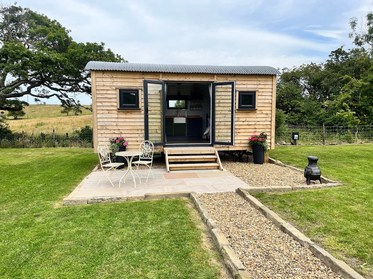 Hut site in Carrigeenboy (tirerrill By., Kilmactranny Ed)Hut site · 80 yd
 Indicated (1838).Fairy fort / earthen ringfort · 665 yd
 Church (in Ruins)Church · 1160 yd
 Saint Thomas's Church (Kilmactranny)church/chapel · 1184 yd
 Green IslandIslet · 1.3 mi
 Josie McDermott MemorialMemorial · 1.5 mi
 Annagh WoodForest · 1.9 mi
 Roundhouse Hill WoodForest · 2.0 mi
 Geevagh Prisoners 1908 MemorialMemorial · 2.4 mi
 Loughbrick BayBay · 2.6 mi
 Stony IslandIslet · 2.6 mi
 Barroe NorthMountain / peak · 2.9 mi
Other information
Photo: Credit not shown in the picture search · Rights wording not checked; contact us if this picture should be removed