
Places near here
Photo credits
- Robert Ashby, Geograph · Creative Commons Attribution-ShareAlike 2.0
- National Inventory of Architectural Heritage
- N Chadwick, Wikimedia Commons · CC BY-SA 2.0
- Kieran Campbell, Wikimedia Commons · CC BY-SA 2.0
- Mikeoem, Wikimedia Commons · CC BY-SA 4.0
- N Chadwick, Geograph · CC BY-SA 2.0
- Colin Park, Geograph · CC BY-SA 2.0
- Robert Ashby, Geograph · CC BY-SA 2.0
- The original uploader was Cearbhalld at English Wikipedia ., Wikimedia Commons · Public domain
 Grave YardGraveyard · 1063 yd
Explorer Tom Graveyard in Kilbride says the wind keeps picking on it because it’s jealous of how fresh the flowers look. It’s right next to the road, so it gets quite the breeze. Take the long way round, it deserves the effort.
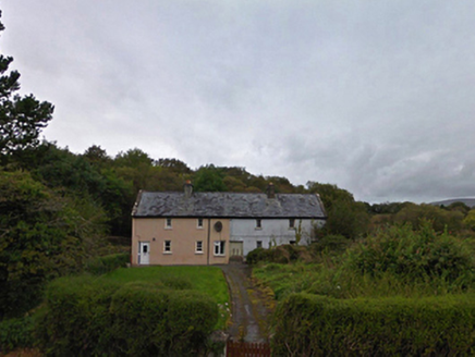 worker's house1111 yd
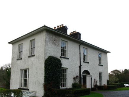 Derrydeevagh HouseRectory/glebe/vicarage/curate's house · 1162 yd
Explorer Tom Derrydeevagh House in Knockaveely Glebe hosted a dance that went so far they had to close the windows for a week. The parsonage has seen some wild times, even if it tries to look dignified now. Stand there long e
 Burrishoole CemeteryCemetery · 2.4 mi
 InishnakillewIslet · 4.2 mi
 Rockfleet CastleCastle · 4.4 mi
 Rockfleet Castle in RuinsCastle, tower house · 4.4 mi
Explorer Tom Rockfleet Castle handles nosey neighbors by simply not having enough walls left to hide behind. It’s sitting on limestone bedrock like a stone giant taking a nap. Find the wonkiest bit and send it to your group chat.
 Bawn in RockfleetBawn · 4.4 mi
Explorer Tom Bawn in Rockfleet is hiding a scandal involving a very rude neighbor and a missing corner wall. The Halls wrote about it, but they probably exaggerated for the drama. Go before the tourists find out.
 Killeen CemeteryVisitor information · 4.9 mi
 CollanmoreIsland · 5.7 mi
 BengormMountain / peak · 6.6 mi
More archaeology and monuments in County Mayo · All of County Mayo

What do you know about this place?Tap to add a comment or ask a question