What is recorded here
Within rath (WA026-024001-) and incorporated in the perimeter at SW according to the 1840 and 1925 eds of the OS 6-inch map. A Man-made underground passage that is described locally as having two chambers was closed in the third quarter of the 20th century. It is not visible at ground level.
The above description is derived from the published 'Archaeological Inventory of County Waterford' (Dublin: Stationery Office, 1999). In certain instances the entries have been revised and updated in the light of recent research.
Compiled by: Michael Moore
Date of upload/revision: 29 December 2011
The monument record does not grant public access. Check the route and ask the landowner before entering private land.
- What survives
- Recorded monument
Places near here
 Site of FortFairy fort / earthen ringfort · 18 yd
 Ballyscanlon HillMountain / peak · 870 yd
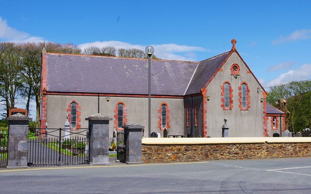 Catholic Church of the Immaculate ConceptionOfficially recorded historic building · 964 yd
 Fenor BogNature reserve · 1026 yd
 Burnt mound in BallyscanlanBurnt mound · 1147 yd
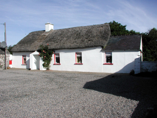 Historic buildingOfficially recorded historic building · 1.5 mi
 Garrarus StrandBeach / strand · 1.8 mi
 Kilfarrasy BeachBeach / strand · 2.1 mi
 Dunhill CastleCastle · 2.1 mi
 Castle (in ruins)Castle, tower house · 2.1 mi
 Newtown WoodsWood · 2.2 mi
 Doneraile WalkWalking route · 2.4 mi