
Places near here
Photo credits
- National Inventory of Architectural Heritage
- Pamela Norrington, Geograph · CC BY-SA 2.0
- Pamela Norrington, Geograph · Creative Commons Attribution-ShareAlike 2.0
- JohnArmagh, Wikimedia Commons · CC BY-SA 3.0
- Kmcnamee, Wikimedia Commons · CC BY-SA 4.0
- Kenneth Allen, Wikimedia Commons · CC BY-SA 2.0
- Western People; photographer not stated (Stuart Tynan is article author), www.westernpeople.ie
- Didier Descouens, Wikimedia Commons · CC BY-SA 4.0
- Kay Atherton, Geograph · CC BY-SA 2.0
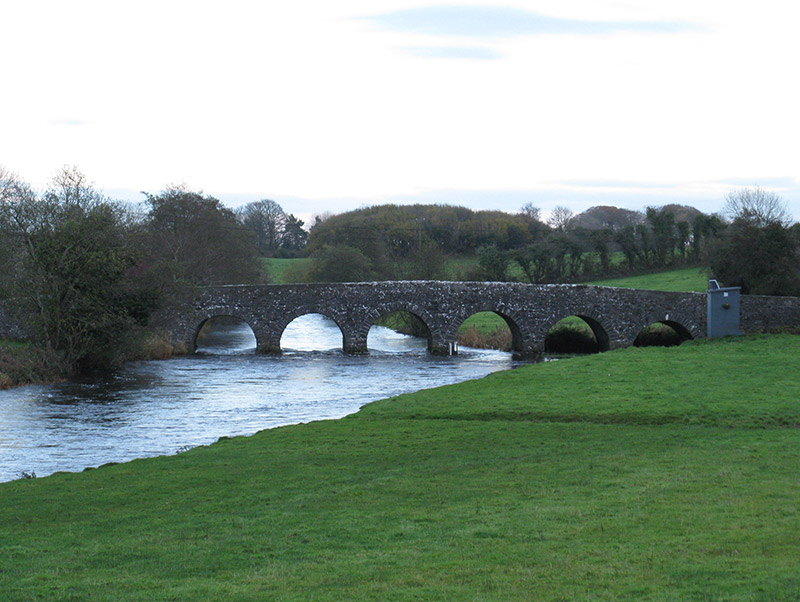 Scarrownageeragh BridgeBridge · 1181 yd
Explorer Tom Scarrownageeragh Bridge is arching over the Gweestion River with an elegance that makes me want to slow down and…
 The BungalowHouse · 1.2 mi
Explorer Tom The Bungalow in Bohola is tiny but mighty, with a pillared veranda that makes it look like a Greek temple! It’s got…
 Ballylahan CastleCastle · 1.6 mi
Explorer Tom Ballylahan Castle had an escape plan that involved running out the back door and never looking back, which worked well…
Ballylahan Castle in RuinsCastle, Anglo-Norman masonry castle · 1.6 miExplorer Tom Ballylahan Castle in Ruins would survive a zombie attack by just letting them trip over its own massive stone…
 Grave YardGraveyard · 1.9 mi
Explorer Tom Graveyard in Toomore would order extra vinegar on its chips because it likes things sharp and memorable. It recently…
 Round Tower2.3 mi
Explorer Tom Round Tower in Meelick is sick of being asked if it’s actually round, because yes, mate, it’s circular, stop squinting…
 Ballyvary, Ballyvary HurlingGAA ground · 4.0 mi
 Admiral William BrownMemorial · 4.6 mi
Explorer Tom Admiral William Brown has an imaginary fan club that meets every Tuesday, mostly just to complain about the wind and…
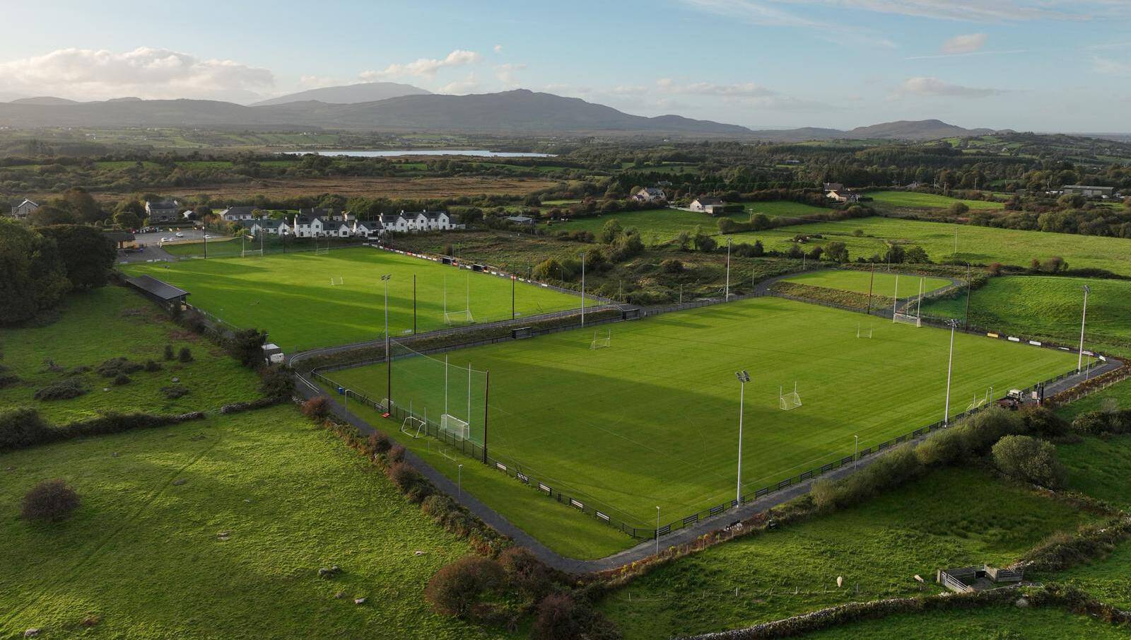 Parke, Parke-Keelogues-Crimlin GAAGAA ground · 5.0 mi
 Hennigan's Heritage CentreHeritage attraction · 5.3 mi
Explorer Tom Hennigan's Heritage Centre would cope brilliantly on a reality show, probably winning every challenge by sheer…
 Hawthorn5.5 mi
Explorer Tom Hawthorn witnessed a love story that went badly wrong next to it, involving a lot of crying and one very torn jacket.…
 Lough CullinViewpoint · 6.0 mi
Explorer Tom Lough Cullin again? Apparently there are two of them, which is either impressive or lazy. I reckon the treasure is just…
More archaeology and monuments in County Mayo · All of County Mayo

What do you know about this place?Tap to add a comment or ask a question