What is recorded here
In estuarine clays on the N bank of the Owenygarney River, extending N from Green Island to Moyhill Marsh. A stone causeway extending N from the island becomes a double line of wooden posts (L c. 270m; lines c. 1.4m apart), visible on Google Earth satellite imagery (© Google Earth, imagery date 28 June 2018), identified and reported by Jean-Charles Caillère.
The following image has been uploaded:
CL062-050----_01.jpg Google Earth historical image
Compiled by: Mary Tunney
Date of upload: 16 June 2020
The monument record does not grant public access. Check the route and ask the landowner before entering private land.
- What survives
- Recorded monument
Places near here
 Grass IslandIslet · 1176 yd
 Maiden RockNamed rock · 1292 yd
 Illaunmore PointHeadland · 1445 yd
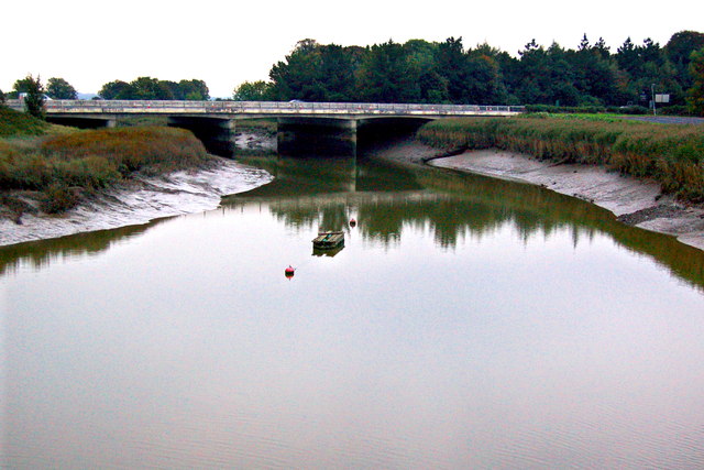 Bunratty Bridgebridge · 1.0 mi
 Bunratty Castlehouse · 1.1 mi
 IndicatedBawn · 1.1 mi
 Grave Yd.Graveyard · 1.1 mi
 Bunratty Castle and Folk ParkHeritage attraction · 1.1 mi
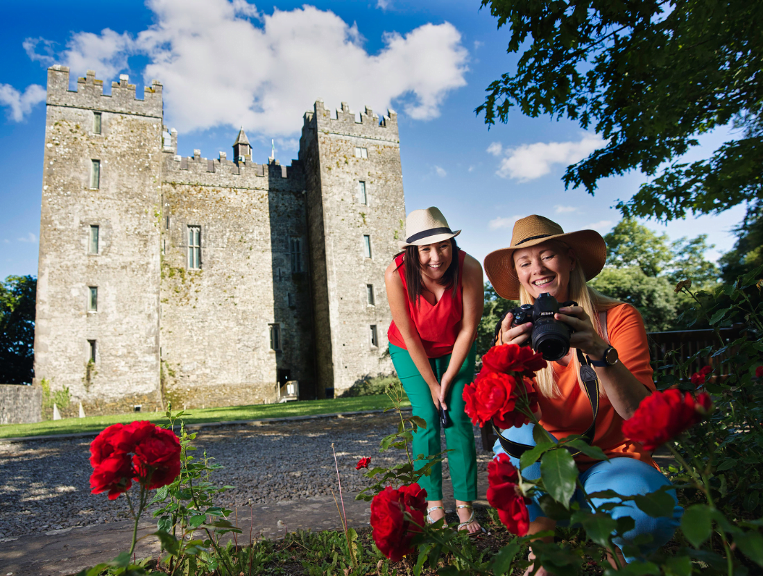 Town defences in Bunratty East,bunratty WestTown defences · 1.1 mi
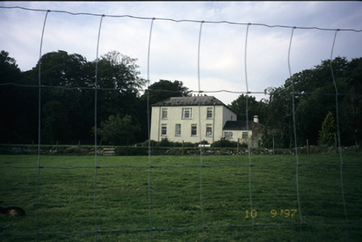 Bunratty Househouse · 1.4 mi
 Sweet ChestnutSweet Chestnut · 1.4 mi
 CastleCastle, motte and bailey · 2.3 mi