What is recorded here
The site of the early monastery and the site of the parish church of Emlagh is situated on the S side of what was once an island in Emlagh bog. The island in the Red moor of Emlogh is marked on the Down Survey (1656-8) barony map of Kells with a causeway extending NW towards Cravelltonne (Gravelstown), which is probably now occupied by the road. For the Down Survey barony map see this web-page accessed on 31 July, 2014http://downsurvey.tcd.ie/down-survey-maps.php#bm=Kells&c=Meath
Compiled by: Michael Moore
Date of upload: 31 July, 2014
The monument record does not grant public access. Check the route and ask the landowner before entering private land.
- What survives
- Recorded monument
Places near here
 Church (Site of)Church · 488 yd
 Gravelstown CastleCastle, unclassified · 1129 yd
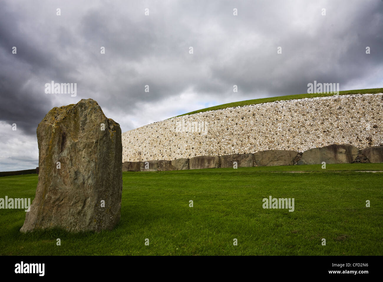 MoundArchaeological place · 1277 yd
 GravelstownMountain / peak · 1392 yd
 BalreaskMountain / peak · 1698 yd
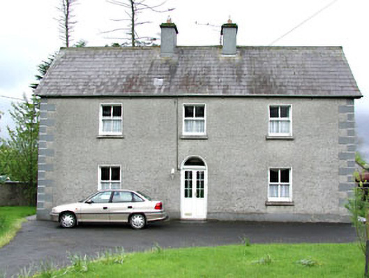 Reask Housefarm house · 1.0 mi
 Rossmeen WoodWood · 1.2 mi
 John Mac MahonMemorial · 1.3 mi
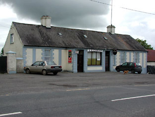 J. Kiernanhouse · 1.3 mi
 CastleCastle, ringwork · 1.5 mi
 Sprout WoodWood · 1.5 mi
 Owenroe and Moynalty DrainageMemorial · 2.2 mi