What is recorded here
Around1939 when an ESB sluice was inserted into the Shannon at the point where it leaves Lough Allen at Bellantra Bridge, about 10 neat circular or oval mounds of stone (LE023-021----) came to light in Derrintober townland. There was also what may have been a stone-paved roadway (L c. 50m; Wth c.4m) running E from O’Reilly’s Island in Co. Roscommon towards this line at the S edge of Derrintober townland. Features that would normally be under water came to light again during abnormally low water levels in 1953 (Irish Times, 17-10-1053). No archaeological features were visible at normal water-levels during 1991. (Faughnan 1944, No. 147)
Compiled by: Michael Moore
Date of upload: 19 December, 2016
The monument record does not grant public access. Check the route and ask the landowner before entering private land.
- What survives
- Recorded monument
Places near here
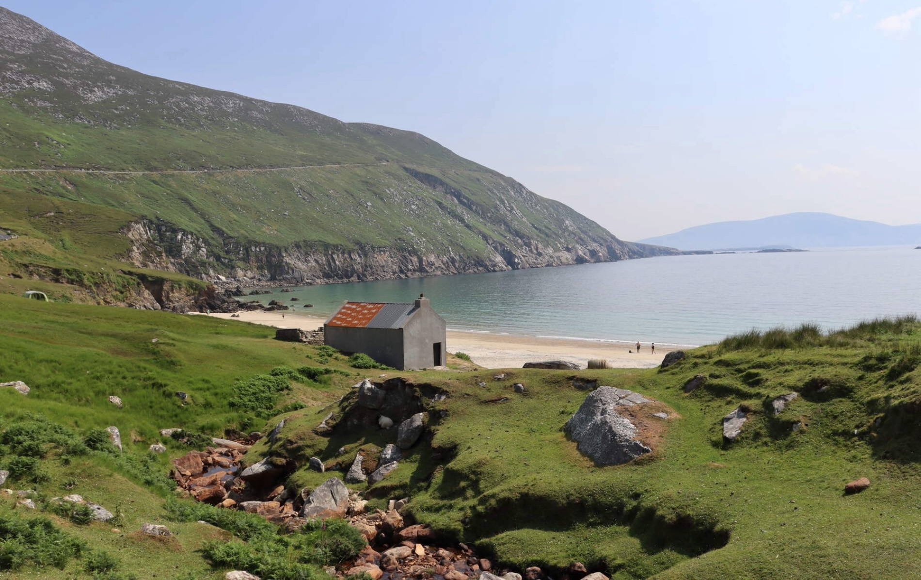 IndicatedFairy fort / earthen ringfort · 733 yd
 Sweat House (in Ruins)Sweathouse · 845 yd
 Spiranthes IslandsIslet · 906 yd
 Holy islandIslet · 911 yd
 Murhaun R. C. ChapelChurch · 1.1 mi
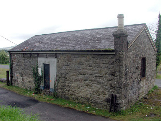 Drumshanbo Railway Stationstore/warehouse · 1.3 mi
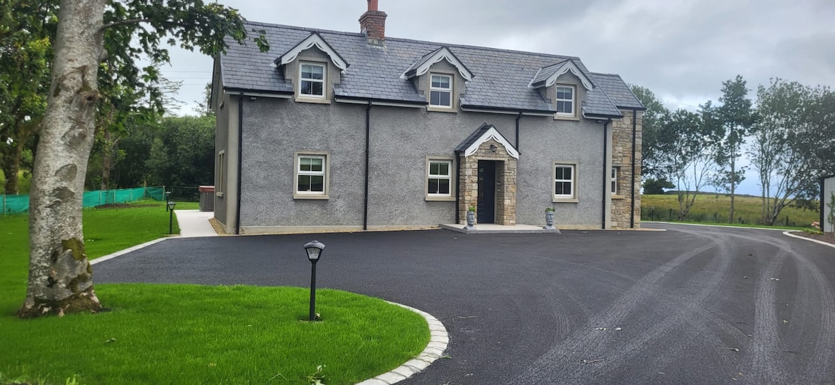 GubcormonganHeadland · 2.1 mi
 Rocking StoneNamed rock · 2.3 mi
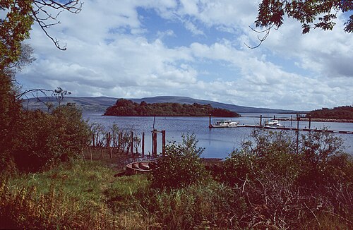 Lough AllenLarge freshwater lake · 2.6 mi
 Arigna Mining ExperienceMuseum · 3.2 mi
 Sliabh an IarainnMountain / peak · 3.3 mi
 Derreenargan WoodWood · 3.4 mi