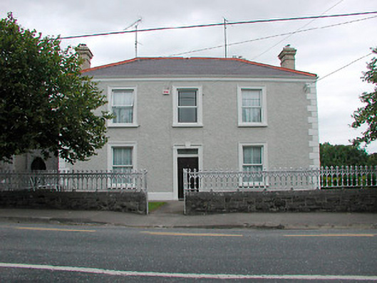
What is recorded here
Detached three-bay two-storey parochial house, built or rebuilt c.1898 on site of earlier parochial house c.1808. Hipped natural slate roof with red clay ridge tiles and moulded brick chimneystacks. Pebbledashed walls with (rendered) eaves cornice, rendered plinth to base and raised quoins to corners. Square-headed window openings with moulded stone surrounds, cut stone sills and replacement windows. Square-headed doorcase with moulded stone surround with projecting keystone, replacement timber panelled door with plain overlight above. Set slightly back from road with low limestone wall with cast-iron decorative railings to front and various extensions c.1965 to rear. Located in a prominent position close to the centre of Clonmellon and to the immediate east of the Roman Catholic church.
This well-proportioned parochial house forms part of a interesting group of ecclesiastical structures along with the Roman Catholic church and freestanding belltower to the west. The modest form of this building is enhanced by the moulded stone surrounds and cast-iron railings, which are of artistic significance. These railings are a continuation of those found in front of the church, creating a prominent and attractive element in the centre of Clonmellon. This building seems to have been rebuilt or largely rebuilt in 1898 when Fr. Healy, the parish priest at the time, obtained a loan of £400 from the Board of Works in 1898. The earlier parochial house was probably built at the same time as the associated church, c. 1808-, and was originally connected to the church based on evidence from cartographic evidence (Ordnance Survey First Ed. Six-Inch Map c. 1838). The site for the original church and parochial house was donated to the Catholic Church by the Chapman Family of nearby Killua Castle.
This does not grant access. Most recorded buildings are privately owned; view them only from public ground unless the owner allows entry.
Places near here
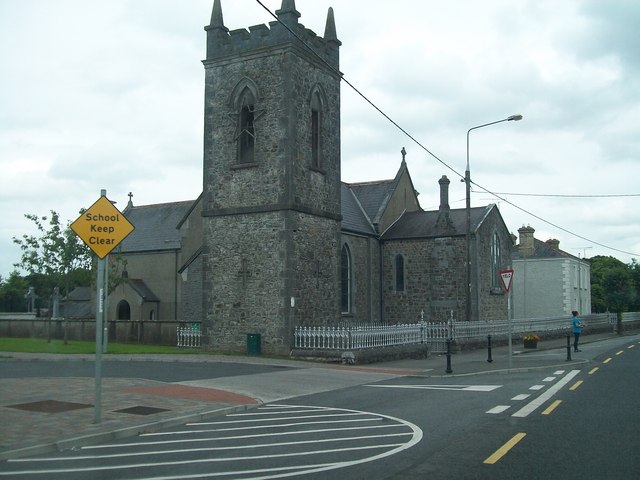 Catholic Church of Saint Peter and Saint Paulchurch/chapel · 27 yd
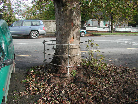 gates/railings/wallsgates/railings/walls · 76 yd
 OutlinedFairy fort / earthen ringfort · 1063 yd
 CastleCastle, unclassified · 1.2 mi
 Enclosure in Shanco (fore By.)Enclosure · 1.7 mi
 European ashEuropean ash · 1.8 mi
 Moneen WoodWood · 1.9 mi
 Round TowerCastle, tower house · 2.0 mi
 Drewstown LittleMountain / peak · 2.2 mi
 CloncatMountain / peak · 3.0 mi
 BoglandMemorial · 3.7 mi
 Causey FarmHeritage attraction · 3.8 mi
Other information
Photo: National Inventory of Architectural Heritage · Website use allowed for educational or private purposes with source credit