
What is recorded here
Internal diam. 19m. A subcircular area enclosed by a collapsed stone wall, rebuilt along the S and W sides, and heavily over-grown. The collapse scatter extends as much as 5.5m on the SW side. Lanes run along the E and N sides of the monument. It is situated in good land on the SE slope of Dooish mountain.
The above description was derived from the 'Archaeological Survey of County Donegal. A description of the field antiquities of the County from the Mesolithic Period to the 17th century.' Compiled by: Brian Lacey with Eamon Cody, Claire Cotter, Judy Cuppage, Noel Dunne, Vincent Hurley, Celie O'Rahilly, Paul Walsh and Seán Ó Nualláin (Lifford: Donegal County Council, 1983). In certain instances the entries have been revised and updated.
Date of upload: 22 September 2008
Castlethird Stone Ringfort is a subcircular early-medieval defensive structure, likely dating to between the 5th and 10th centuries, characterized by a collapsed stone wall and partial later rebuilding. While no specific folklore is recorded, such sites were often associated with local legends involving fairies or ancient inhabitants in Irish tradition.
The monument record does not grant public access. Check the route and ask the landowner before entering private land.
- What survives
- Recorded monument
Places near here
 Corn Millmill (water) · 839 yd
 bridgebridge · 857 yd
 IndicatedHoly well · 998 yd
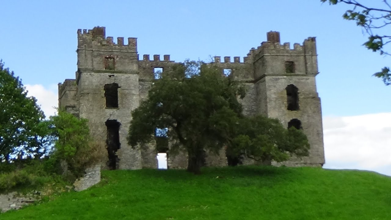 Clashygowan EnclosureEnclosure · 1522 yd
 Mongavlin CastleHouse, fortified house · 3.5 mi
 CastleCastle, unclassified · 3.5 mi
 Emmery Celtic CrossWood · 3.6 mi
 Gortmonly HillMountain / peak · 4.5 mi
 Grianán of AileachFairy fort / stone ringfort · 5.4 mi
 Greenan MountainMountain / peak · 5.4 mi
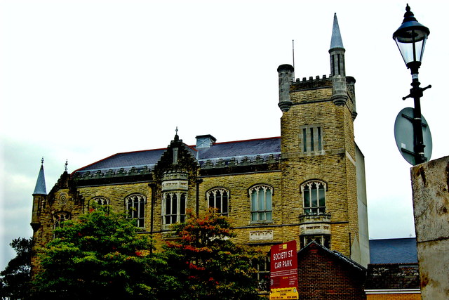 Apprentice Boys of Derry and Siege MuseumMuseum · 6.9 mi
 Diamond War MemorialMemorial · 6.9 mi
Other information
Photo: Credit not shown in the picture search · Rights wording not checked; contact us if this picture should be removed